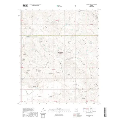
2021 Map of Weavers Needle
USGS Topo · Published 2021About this map
Weavers Needle stands as the centerpiece of this land within the Tonto National Forest, where the complex geology of the Superstition Mountains creates a landscape of high summits and deep canyons. The network of historical movement through these peaks is documented by numerous routes such as the Dutchmans Trl, Peralta Canyon, and the Lost Gold Mine Trl. These paths connect significant landmarks including Miners Needle and Miners Summit, reflecting the area's deep-rooted mining lore. The map shows a watershed defined by the La Barge Canyon and Tortilla Creek, where seasonal water sources like Charlebois Spring and White Rock Spring were vital for those traversing the high desert. From the heights of Music Mtn to the depths of Barkley Basin, the terrain underscores the difficulty of travel and the isolation of the high ridges.
Find a feature on this map
111 named features on this map. Tap any name to fly to it.
Don’t see what you’re looking for? This feature index may not catch every label — zoom into the map to look around manually.
Map Details
Editions of this 2021 Weavers Needle Map
This is the sole edition of this map. No revisions or reprints were ever made.
Other maps of this area

1900 · Florence
USGS Topo · 1:125,000

1902 · Florence
USGS Topo · 1:125,000

1907 · Roosevelt
USGS Topo · 1:125,000

1909 · Four Peaks
USGS Topo · 1:125,000

1912 · Roosevelt
USGS Topo · 1:125,000

1948 · Superior
USGS Topo · 1:62,500

1948 · Iron Mountain
USGS Topo · 1:24,000

1948 · Picketpost Mtn
USGS Topo · 1:24,000

1949 · Iron Mountain
USGS Topo · 1:24,000

1949 · Picketpost Mtn
USGS Topo · 1:24,000