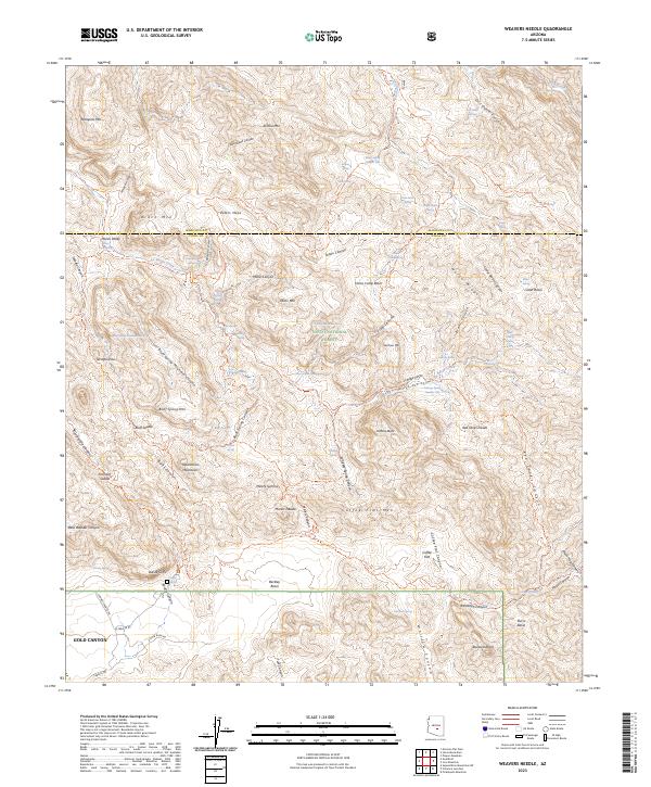
2023 Map of Weavers Needle
USGS Topo · Published 2023About this map
The Superstition Mountains dominate this landscape, characterized by a complex network of canyons and high-elevation plateaus within the Tonto National Forest. Settlement is concentrated at the southwestern edge in Gold Canyon, where modern thoroughfares like E Peralta Rd and E Gold Rush Rd provide access to the wilderness boundary. The interior is defined by rugged drainage systems including Music Canyon, Needle Canyon, and La Barge Creek.
Find a feature on this map
119 named features on this map. Tap any name to fly to it.
Don’t see what you’re looking for? This feature index may not catch every label — zoom into the map to look around manually.
Map Details
Editions of this 2023 Weavers Needle Map
This is the sole edition of this map. No revisions or reprints were ever made.
Other maps of this area

1900 · Florence
USGS Topo · 1:125,000

1902 · Florence
USGS Topo · 1:125,000

1907 · Roosevelt
USGS Topo · 1:125,000

1909 · Four Peaks
USGS Topo · 1:125,000

1912 · Roosevelt
USGS Topo · 1:125,000

1948 · Superior
USGS Topo · 1:62,500

1948 · Iron Mountain
USGS Topo · 1:24,000

1948 · Picketpost Mtn
USGS Topo · 1:24,000

1949 · Iron Mountain
USGS Topo · 1:24,000

1949 · Picketpost Mtn
USGS Topo · 1:24,000