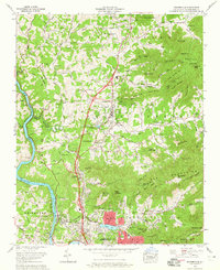
1962 Map of Weaverville
USGS Topo · Published 1965About this map
Weaverville and the northern reaches of Asheville dominate this Buncombe County landscape during the early 1960s, a period of notable growth along the corridor between the French Broad River and the Elk Mountains. The map highlights a community transition, where the historic Southern railroad line follows the riverbank past Alexander, while the central valley focuses on recreation and education at Lake Louise and the North Buncombe High School. Cultural and sporting landmarks are prominent, including the Asheville-Weaverville Speedway and the landscaped Asheville Gardens. The map provides excellent genealogical detail through several small country sanctuaries like Brittain Cove Church and Mt Bethel Ch, alongside family cemeteries such as the Shepperd Cem and Coles Cem. Mountain geography is meticulously labeled, featuring peaks like Baird Mountain and Stoney Knob that define the local topography.
Find a feature on this map
89 named features on this map. Tap any name to fly to it.
Don’t see what you’re looking for? This feature index may not catch every label — zoom into the map to look around manually.
Map Details
Editions of this 1962 Weaverville Map
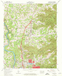
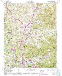
3 editions found
Other maps of this area

1894 · Asheville
USGS Topo · 1:125,000

1900 · Mount Mitchell
USGS Topo · 1:125,000

1901 · Asheville
USGS Topo · 1:125,000

1902 · Mount Mitchell
USGS Topo · 1:125,000

1935 · Barnardsville
USGS Topo · 1:24,000

1935 · Craggy Pinnacle
USGS Topo · 1:24,000

1936 · Marshall
USGS Topo · 1:24,000

1936 · Enka
USGS Topo · 1:24,000

1936 · Weaverville
USGS Topo · 1:24,000

1936 · Mars Hill
USGS Topo · 1:24,000