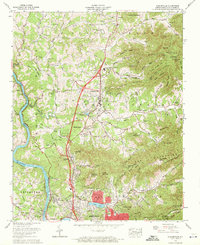
1962 Map of Weaverville
USGS Topo · Published 1972About this map
The French Broad River flows through the western edge of this 1962 landscape, mirroring the path of the Southern Railway as it passes through the communities of Alexander and Craggy. This survey, revised by the Tennessee Valley Authority, highlights a period of suburban expansion north of Asheville, where the presence of the Asheville-Weaverville Speedway and the development around Beaver Lake signal a shift toward recreation and transit.
Find a feature on this map
97 named features on this map. Tap any name to fly to it.
Don’t see what you’re looking for? This feature index may not catch every label — zoom into the map to look around manually.
Map Details
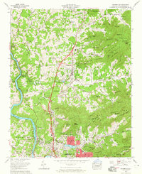
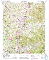
Editions of this 1962 Weaverville Map
3 editions found
Other maps of this area

1894 · Asheville
USGS Topo · 1:125,000

1900 · Mount Mitchell
USGS Topo · 1:125,000

1901 · Asheville
USGS Topo · 1:125,000

1902 · Mount Mitchell
USGS Topo · 1:125,000

1935 · Barnardsville
USGS Topo · 1:24,000

1935 · Craggy Pinnacle
USGS Topo · 1:24,000

1936 · Marshall
USGS Topo · 1:24,000

1936 · Enka
USGS Topo · 1:24,000

1936 · Weaverville
USGS Topo · 1:24,000

1936 · Mars Hill
USGS Topo · 1:24,000