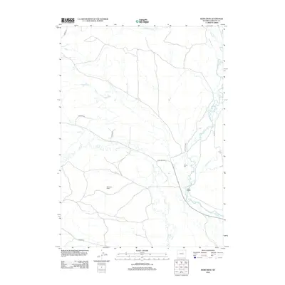
2012 Map of Webb Draw
USGS Topo · Published 2012About this map
The Green River meanders through this portion of Sublette County, defining a landscape of riparian corridors and high desert points. This 2012 survey highlights the convergence of several significant waterways, including Horse Cr and Forty Rod Cr, which feed into the primary river valley. The settlement pattern is sparse, reflecting the ranching and rural character of the region, where named landmarks like Shannon Point provide essential navigation and property reference in the open terrain.
Find a feature on this map
17 named features on this map. Tap any name to fly to it.
Don’t see what you’re looking for? This feature index may not catch every label — zoom into the map to look around manually.
Map Details
Editions of this 2012 Webb Draw Map
This is the sole edition of this map. No revisions or reprints were ever made.
Other maps of this area

1907 · Gros Ventre
USGS Topo · 1:125,000

1910 · Gros Ventre
USGS Topo · 1:125,000

1939 · Big Piney
USGS Topo · 1:125,000

1942 · Big Piney
USGS Topo · 1:125,000

1955 · Driggs
USGS Topo · 1:250,000

1955 · Preston
USGS Topo · 1:250,000

1958 · Driggs
USGS Topo · 1:250,000

1958 · Preston
USGS Topo · 1:250,000

1962 · Driggs
USGS Topo · 1:250,000

1962 · Preston
USGS Topo · 1:250,000