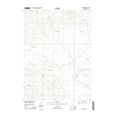
2015 Map of Webb Draw
USGS Topo · Published 2015About this map
Beaver Ridge and Shannon Point dominate the high ground in this section of Sublette County, where the high-altitude hydrology of the Green River Basin is on full display. The Green River itself winds through the eastern portion of the map, fed by a network of tributaries including Horse Cr, Lead Cr, and Forty-rod Cr. This is a landscape defined by seasonal drainage and ranching access, featuring several named draws such as Webb Draw and Ryegrass Draw.
Find a feature on this map
24 named features on this map. Tap any name to fly to it.
Don’t see what you’re looking for? This feature index may not catch every label — zoom into the map to look around manually.
Map Details
Editions of this 2015 Webb Draw Map
This is the sole edition of this map. No revisions or reprints were ever made.
Other maps of this area

1907 · Gros Ventre
USGS Topo · 1:125,000

1910 · Gros Ventre
USGS Topo · 1:125,000

1939 · Big Piney
USGS Topo · 1:125,000

1942 · Big Piney
USGS Topo · 1:125,000

1955 · Driggs
USGS Topo · 1:250,000

1955 · Preston
USGS Topo · 1:250,000

1958 · Driggs
USGS Topo · 1:250,000

1958 · Preston
USGS Topo · 1:250,000

1962 · Driggs
USGS Topo · 1:250,000

1962 · Preston
USGS Topo · 1:250,000