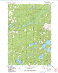
1983 Map of Webb Lake
USGS Topo · Published 1983About this map
The St Croix National Scenic Riverway and Namekagon River Scenic Riverway converge in this northern Wisconsin landscape, shaping a terrain defined by glacial kettle lakes and river bends. The small settlement of Riverside sits near the western edge, adjacent to a Wayside Park and a Gaging Sta along the water. The map reveals a dense network of recreational and community sites, including Luther Park Camp on Twentysix Lake and the Burnett Co Camp, indicating the area's mid-century transition toward seasonal residency and outdoor stewardship.
Find a feature on this map
56 named features on this map. Tap any name to fly to it.
Don’t see what you’re looking for? This feature index may not catch every label — zoom into the map to look around manually.
Map Details
Editions of this 1983 Webb Lake Map
This is the sole edition of this map. No revisions or reprints were ever made.
Other maps of this area
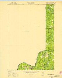
1949 · Danbury
USGS Topo · 1:48,000
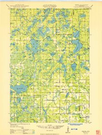
1949 · Hertel
USGS Topo · 1:48,000
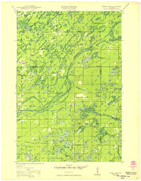
1949 · Webb Lake
USGS Topo · 1:48,000
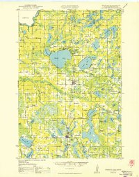
1950 · Webster
USGS Topo · 1:48,000

1953 · Duluth
USGS Topo · 1:250,000

1953 · Stillwater
USGS Topo · 1:250,000
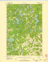
1955 · Hertel
USGS Topo · 1:62,500
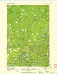
1955 · Webb Lake
USGS Topo · 1:62,500
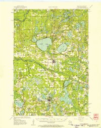
1955 · Webster
USGS Topo · 1:62,500

1955 · Stillwater
USGS Topo · 1:250,000