1963 Map of Webb
USGS Topo · Published 1967About this map
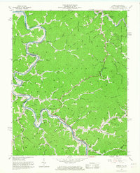
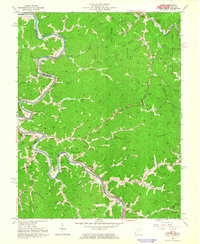
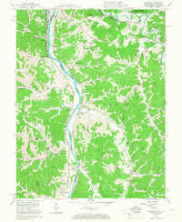
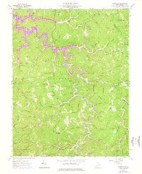
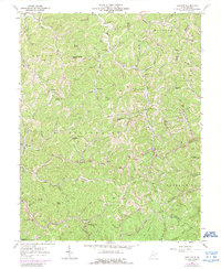
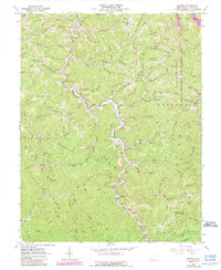
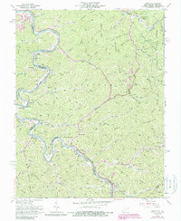
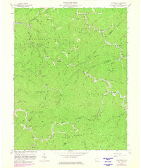
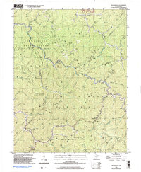
Tug Fork defines the border between West Virginia and Kentucky in this mid-century topographical study, serving as the primary corridor for both the Norfolk and Western railroad and local life. Small riverside communities such as Webb, Crum, and Kermit are situated along the winding riverbanks, where the valley floor provides the only level ground among the steep slopes of Wells Mountain and Bull Mountain. This era shows a landscape heavily dotted with gas wells, particularly concentrated around the Lick Fork and Moses Fork Ridge areas.
Find a feature on this map
90 named features on this map. Tap any name to fly to it.
Don’t see what you’re looking for? This feature index may not catch every label — zoom into the map to look around manually.
Map Details
Editions of this 1963 Webb Map
4 editions found

Historical Maps of Crum Through Time
13 maps found
1954 Webb
Wayne County, WV
1957 Burnaugh
Wayne County, WV
1962 Kiahsville
Wayne County, WV
1962 Nestlow
Wayne County, WV
1962 Radnor
Wayne County, WV
1963 Webb
Wayne County, WV
1963 Wilsondale
Wayne County, WV
1996 Wilsondale
Wayne County, WV
2023 Kiahsville
Wayne County, WV
2023 Nestlow
Wayne County, WV
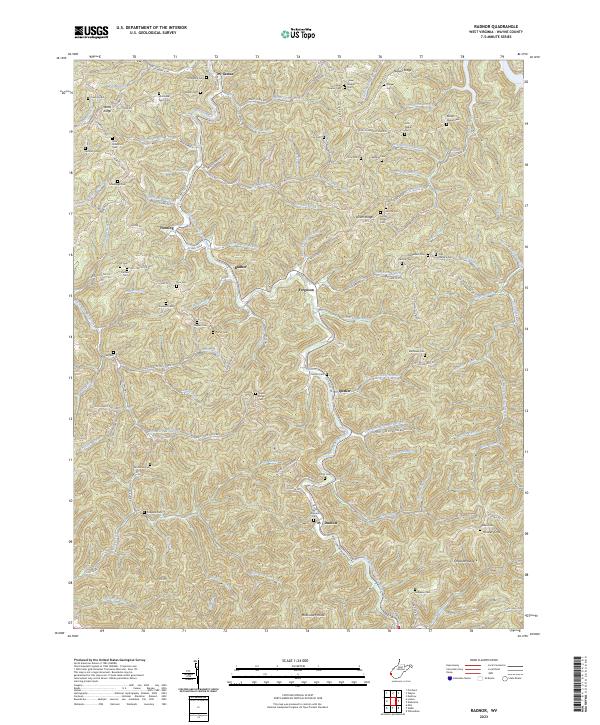
2023 Radnor
Wayne County, WV
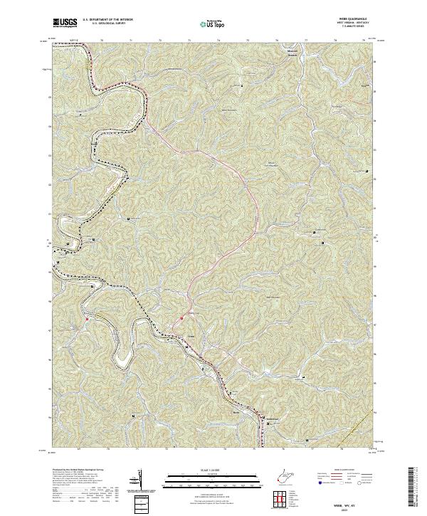
2023 Webb
Wayne County, WV
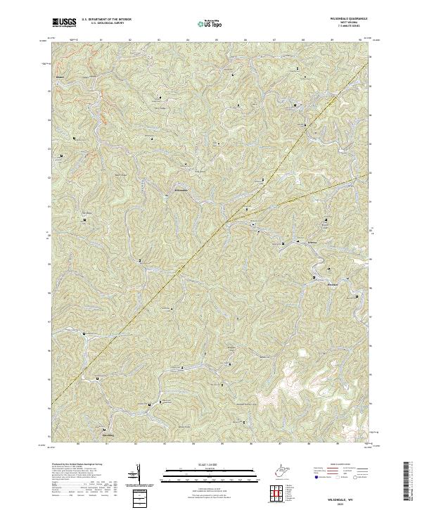
2023 Wilsondale
Wayne County, WV