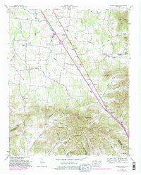
1949 Map of Webbs Jungle
USGS Topo · Published 1981About this map
The Tennessee Divide cuts across this landscape where the headwaters of the Middle Fork Stones River navigate a complex series of hollows and ridges. This mid-century survey, updated in the late 1970s, reveals a rural economy centered around small crossroads such as Gum and Webbs Jungle. The Dixie Highway West serves as a primary transit artery, bypassing deep-seated local landmarks like Pilot Knob and Campbell Gap.
Find a feature on this map
75 named features on this map. Tap any name to fly to it.
Don’t see what you’re looking for? This feature index may not catch every label — zoom into the map to look around manually.
Map Details
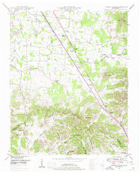
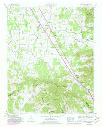
Editions of this 1949 Webbs Jungle Map
3 editions found
Other maps of this area

1908 · Woodbury
USGS Topo · 1:62,500

1913 · Hollow Springs
USGS Topo · 1:62,500

1916 · Murfreesboro
USGS Topo · 1:62,500

1936 · Webbs Jungle
USGS Topo · 1:24,000

1936 · Deason
USGS Topo · 1:24,000

1936 · Beech Grove
USGS Topo · 1:24,000

1936 · Noah
USGS Topo · 1:24,000

1936 · Wartrace
USGS Topo · 1:24,000

1936 · Fosterville
USGS Topo · 1:24,000

1942 · Statesville
USGS Topo · 1:100,000