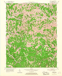
1953 Map of Webbville
USGS Topo · Published 1967About this map
Webbville and the surrounding eastern Kentucky hills are defined by a complex network of hollows and ridges, such as Mud Ridge and Hickory Log Hol. In the mid-1950s, this area of Lawrence County remained deeply rural, with its social geography anchored by a high density of country schools and community churches. Education centers like Old Kentucky Home Sch, Bells Trace Sch, and Slick Rock Sch are scattered along the narrow valleys of Caney Fork and Elijah Creek.
Find a feature on this map
43 named features on this map. Tap any name to fly to it.
Don’t see what you’re looking for? This feature index may not catch every label — zoom into the map to look around manually.
Map Details
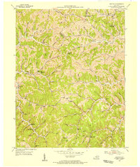
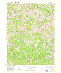
Editions of this 1953 Webbville Map
3 editions found
Other maps of this area

1901 · Ceredo
USGS Topo · 1:62,500

1903 · Kenova
USGS Topo · 1:125,000

1904 · Kenova
USGS Topo · 1:125,000

1911 · Louisa
USGS Topo · 1:48,000

1913 · Ceredo
USGS Topo · 1:62,500

1913 · Louisa
USGS Topo · 1:62,500

1939 · Louisa
USGS Topo · 1:62,500

1953 · Grayson
USGS Topo · 1:24,000

1953 · Rush
USGS Topo · 1:24,000

1953 · Boltsfork
USGS Topo · 1:24,000