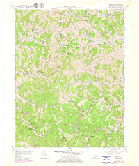
1953 Map of Webbville
USGS Topo · Published 1980About this map
Webbville stands at a junction of hill-country roads in this 1950s study of the Kentucky borderlands where Lawrence, Carter, and Boyd counties meet. The landscape is defined by the winding Little Sandy River and a dense network of hollows, including Hickory Log Hol and Booth Hol. Educational and religious life in these remote drainages is well-documented through numerous small schoolhouses like the Old Kentucky Home Sch, Slick Rock Sch, and Pollys Chapel Sch, reflecting a time when mountain communities were centered around local rural districts.
Find a feature on this map
95 named features on this map. Tap any name to fly to it.
Don’t see what you’re looking for? This feature index may not catch every label — zoom into the map to look around manually.
Map Details
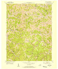
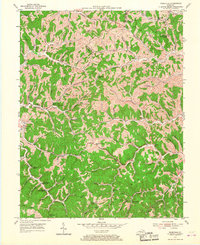
Editions of this 1953 Webbville Map
3 editions found
Other maps of this area

1901 · Ceredo
USGS Topo · 1:62,500

1903 · Kenova
USGS Topo · 1:125,000

1904 · Kenova
USGS Topo · 1:125,000

1911 · Louisa
USGS Topo · 1:48,000

1913 · Ceredo
USGS Topo · 1:62,500

1913 · Louisa
USGS Topo · 1:62,500

1939 · Louisa
USGS Topo · 1:62,500

1953 · Grayson
USGS Topo · 1:24,000

1953 · Rush
USGS Topo · 1:24,000

1953 · Boltsfork
USGS Topo · 1:24,000