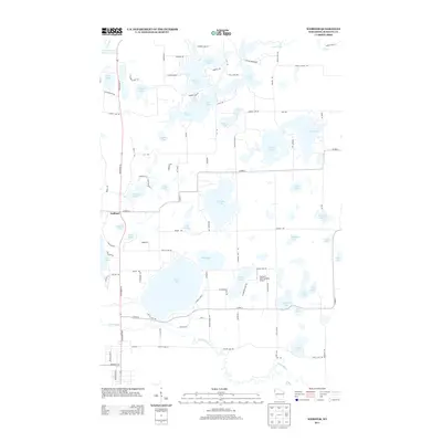
2013 Map of Webster
USGS Topo · Published 2013About this map
The Yellow R winds through this Burnett County landscape, a region defined by an intricate network of glacial lakes and wetlands. The settlement of Oakland serves as a local point of reference near the western edge, while Devils Lake and Yellow Lake dominate the central and southwestern terrain. The area's aviation and transport history is represented by Connor's Lake Landing Airport, situated between Conners Lake and Peterson Lake.
Find a feature on this map
101 named features on this map. Tap any name to fly to it.
Don’t see what you’re looking for? This feature index may not catch every label — zoom into the map to look around manually.
Map Details
Editions of this 2013 Webster Map
This is the sole edition of this map. No revisions or reprints were ever made.
Other maps of this area

1949 · Danbury
USGS Topo · 1:48,000

1949 · Hertel
USGS Topo · 1:48,000

1949 · Webb Lake
USGS Topo · 1:48,000

1950 · Webster
USGS Topo · 1:48,000

1953 · Duluth
USGS Topo · 1:250,000

1953 · Stillwater
USGS Topo · 1:250,000

1955 · Hertel
USGS Topo · 1:62,500

1955 · Webb Lake
USGS Topo · 1:62,500

1955 · Webster
USGS Topo · 1:62,500

1955 · Stillwater
USGS Topo · 1:250,000