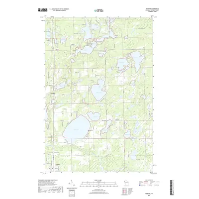
2018 Map of Webster
USGS Topo · Published 2018About this map
The Yellow River winds through the southern portion of this landscape, framing the village of Webster, where a grid of streets like Main St E and Industrial Ave meet the river's bend. This area of Burnett County is defined by a dense concentration of glacial lakes, from the expansive Devils Lake and Johnson Lake to smaller bodies like Lone Star Lake and Echo Lake. The settlement of Oakland serves as a northern anchor, surrounded by a network of rural routes such as Co Hwy U and Minerva Lake Dr.
Find a feature on this map
108 named features on this map. Tap any name to fly to it.
Don’t see what you’re looking for? This feature index may not catch every label — zoom into the map to look around manually.
Map Details
Editions of this 2018 Webster Map
This is the sole edition of this map. No revisions or reprints were ever made.
Other maps of this area

1949 · Danbury
USGS Topo · 1:48,000

1949 · Hertel
USGS Topo · 1:48,000

1949 · Webb Lake
USGS Topo · 1:48,000

1950 · Webster
USGS Topo · 1:48,000

1953 · Duluth
USGS Topo · 1:250,000

1953 · Stillwater
USGS Topo · 1:250,000

1955 · Hertel
USGS Topo · 1:62,500

1955 · Webb Lake
USGS Topo · 1:62,500

1955 · Webster
USGS Topo · 1:62,500

1955 · Stillwater
USGS Topo · 1:250,000