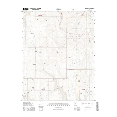
2014 Map of Webster Flat
USGS Topo · Published 2014About this map
Dixie National Forest covers much of this high-elevation plateau region, where the drainage networks of Deep Cr and Fife Cr carve deep into the landscape of the Iron and Kane County border. The map showcases a transition from prominent peaks like Black Mtn and Miners Peak to broad upland areas such as Webster Flat and Walts Flat. Historically significant landform names, likely tied to early ranching or homesteading families, are prevalent throughout, including Houchen Hollow, Adams Hollow, and Dan Leigh Hollow. High points like Sherratt Point and O'Neil Point provide distinct overlooks across the complex topography of the Kolob Terrace. Forest roads such as Urie Flat Rd and Black Mountain Rd provide the primary access through this timbered and water-rich environment, which features localized water sources like Aspen Lake and Crystal Spring.
Find a feature on this map
53 named features on this map. Tap any name to fly to it.
Don’t see what you’re looking for? This feature index may not catch every label — zoom into the map to look around manually.
Map Details
Editions of this 2014 Webster Flat Map
This is the sole edition of this map. No revisions or reprints were ever made.
Other maps of this area

1885 · St. George
USGS Topo · 1:250,000

1886 · Kanab
USGS Topo · 1:250,000

1891 · St. George
USGS Topo · 1:250,000

1950 · Cedar City
USGS Topo · 1:24,000

1950 · Cedar City
USGS Topo · 1:62,500

1950 · Cedar Mountain
USGS Topo · 1:24,000

1952 · Cedar Mountain
USGS Topo · 1:24,000

1953 · Cedar City
USGS Topo · 1:250,000

1954 · Orderville Canyon NW
USGS Topo · 1:24,000

1957 · Orderville Canyon NE
USGS Topo · 1:24,000