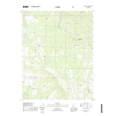
2020 Map of Webster Flat
USGS Topo · Published 2020About this map
Dixie National Forest defines the high-elevation landscape of this 2020 survey, where the Iron and Kane County boundary line cuts through a complex network of plateaus and canyons. The map centers on Webster Flat, a significant upland feature surrounded by numerous family-named landmarks such as Dan Leigh Hollow, Houchen Hollow, and O'Neil Point, which provide rich geographic context for local history and genealogy.
Find a feature on this map
53 named features on this map. Tap any name to fly to it.
Don’t see what you’re looking for? This feature index may not catch every label — zoom into the map to look around manually.
Map Details
Editions of this 2020 Webster Flat Map
This is the sole edition of this map. No revisions or reprints were ever made.
Other maps of this area

1885 · St. George
USGS Topo · 1:250,000

1886 · Kanab
USGS Topo · 1:250,000

1891 · St. George
USGS Topo · 1:250,000

1950 · Cedar City
USGS Topo · 1:24,000

1950 · Cedar City
USGS Topo · 1:62,500

1950 · Cedar Mountain
USGS Topo · 1:24,000

1952 · Cedar Mountain
USGS Topo · 1:24,000

1953 · Cedar City
USGS Topo · 1:250,000

1954 · Orderville Canyon NW
USGS Topo · 1:24,000

1957 · Orderville Canyon NE
USGS Topo · 1:24,000