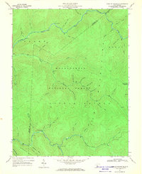
1967 Map of Webster Springs SE
USGS Topo · Published 1970About this map
Monongahela National Forest dominates this mid-century survey of the high mountain terrain on the border of Webster and Pocahontas Counties. The landscape is defined by the high elevations of Glade Mountain and Sugar Creek Mountain, where a complex network of drainages feeds into the Williams River and Cranberry River. The area is notably devoid of permanent settlements, showing instead a wilderness characterized by specialized nomenclature like the evocative Hell For Certain Branch and Bannock Shoals Run.
Find a feature on this map
41 named features on this map. Tap any name to fly to it.
Don’t see what you’re looking for? This feature index may not catch every label — zoom into the map to look around manually.
Map Details
Editions of this 1967 Webster Springs SE Map
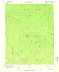
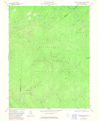
Other maps of this area

1891 · Huntersville
USGS Topo · 1:125,000

1894 · Huntersville
USGS Topo · 1:125,000

1915 · Webster Springs
USGS Topo · 1:48,000

1918 · Webster Springs
USGS Topo · 1:62,500

1923 · Lobelia
USGS Topo · 1:48,000

1923 · Marlinton
USGS Topo · 1:48,000

1923 · Mingo
USGS Topo · 1:48,000

1925 · Mingo
USGS Topo · 1:62,500

1925 · Marlinton
USGS Topo · 1:62,500

1925 · Lobelia
USGS Topo · 1:62,500