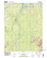
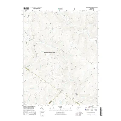
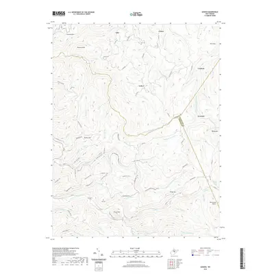
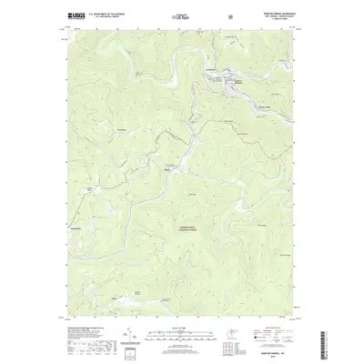
1918 Map of Webster Springs
USGS Topo · Published 1940About this map
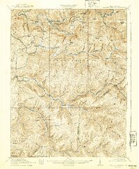
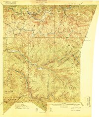
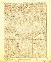
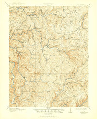
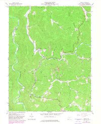
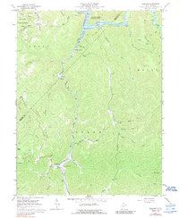
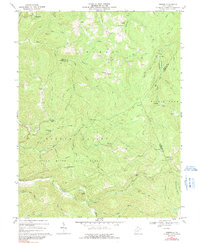
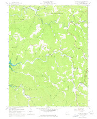
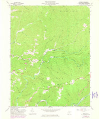
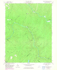
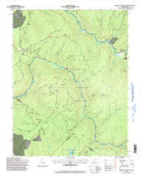
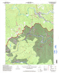
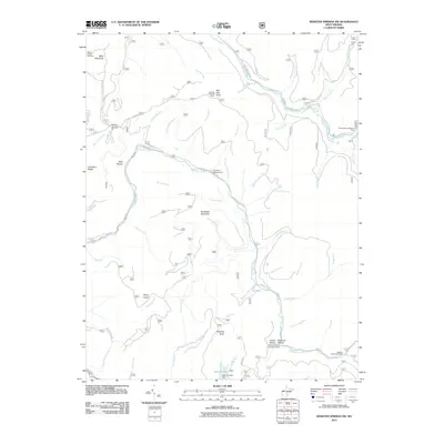
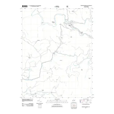
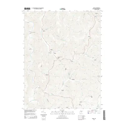
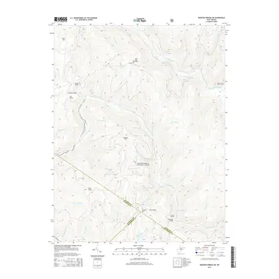
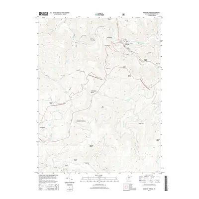
Webster Springs (Addison) serves as the central hub of this 1915 survey, situated at the confluence of the Elk River and the Back Fork. This West Virginia high-country landscape is defined by its intense verticality, with prominent ridges like Point Mountain and the Gauley Divide separating the major river systems. Much of the southern and eastern territory is occupied by the Monongahela National Forest, a terrain of dense contours where the Williams River and Cranberry River have carved deep, winding paths.
Find a feature on this map
68 named features on this map. Tap any name to fly to it.
Don’t see what you’re looking for? This feature index may not catch every label — zoom into the map to look around manually.
Map Details
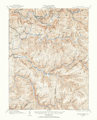
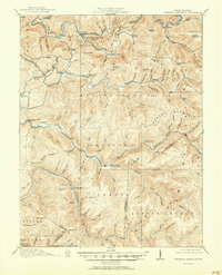
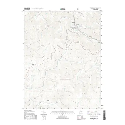
Editions of this 1918 Webster Springs Map
4 editions found
Historical Maps of Addison (Webster Springs) Through Time
49 maps found
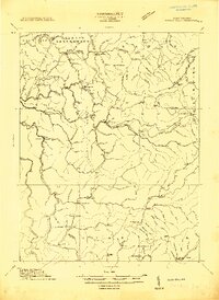
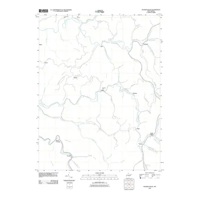
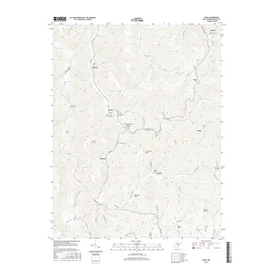
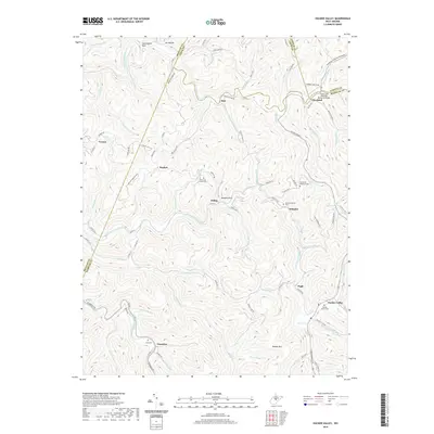
1913 Hacker Valley
Webster County, WV
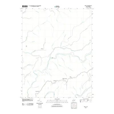
1915 Hacker Valley
Webster County, WV
1915 Webster Springs
Webster County, WV
1918 Webster Springs
Webster County, WV
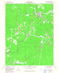
1966 Webster Springs
Webster County, WV
1967 Diana
Webster County, WV
1967 Erbacon
Webster County, WV
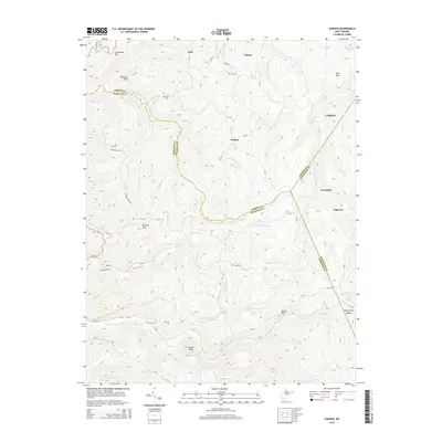
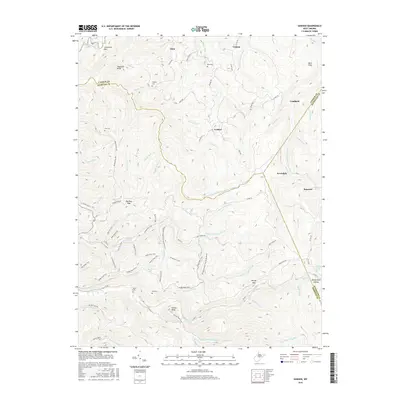
1967 Goshen
Webster County, WV
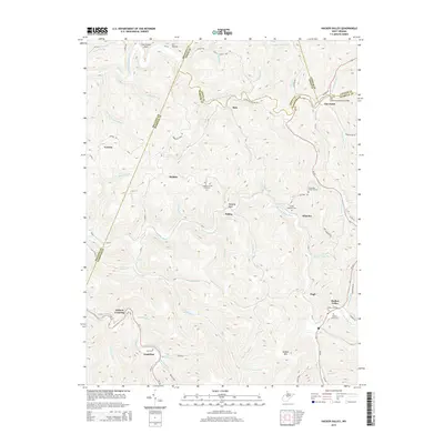
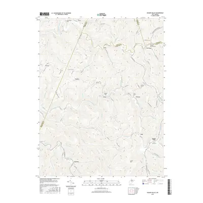
1967 Hacker Valley
Webster County, WV
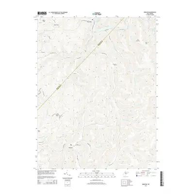
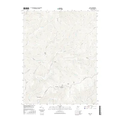
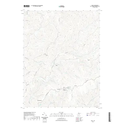
1967 Skelt
Webster County, WV
1967 Webster Springs SW
Webster County, WV
1995 Webster Springs SW
Webster County, WV
1995 Webster Springs
Webster County, WV
1997 Erbacon
Webster County, WV
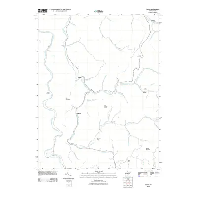
2010 Diana
Webster County, WV
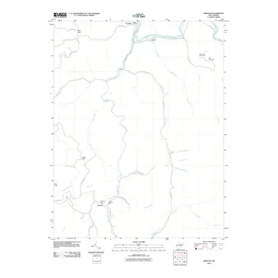
2010 Erbacon
Webster County, WV
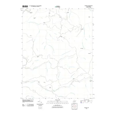
2010 Goshen
Webster County, WV
2010 Hacker Valley
Webster County, WV
2010 Skelt
Webster County, WV
2011 Webster Springs SW
Webster County, WV
2011 Webster Springs
Webster County, WV
2014 Diana
Webster County, WV
2014 Erbacon
Webster County, WV
2014 Goshen
Webster County, WV
2014 Hacker Valley
Webster County, WV
2014 Skelt
Webster County, WV
2014 Webster Springs SW
Webster County, WV
2014 Webster Springs
Webster County, WV
2016 Diana
Webster County, WV
2016 Erbacon
Webster County, WV
2016 Goshen
Webster County, WV
2016 Hacker Valley
Webster County, WV
2016 Skelt
Webster County, WV
2016 Webster Springs SW
Webster County, WV
2016 Webster Springs
Webster County, WV
2019 Diana
Webster County, WV
2019 Erbacon
Webster County, WV
2019 Goshen
Webster County, WV
2019 Hacker Valley
Webster County, WV
2019 Skelt
Webster County, WV
2019 Webster Springs SW
Webster County, WV
2019 Webster Springs
Webster County, WV
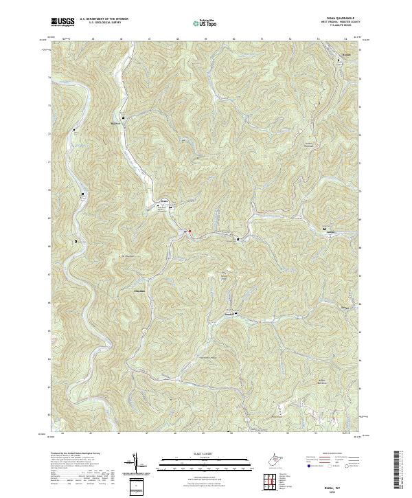
2023 Diana
Webster County, WV
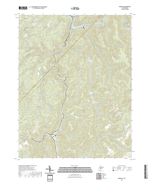
2023 Erbacon
Webster County, WV
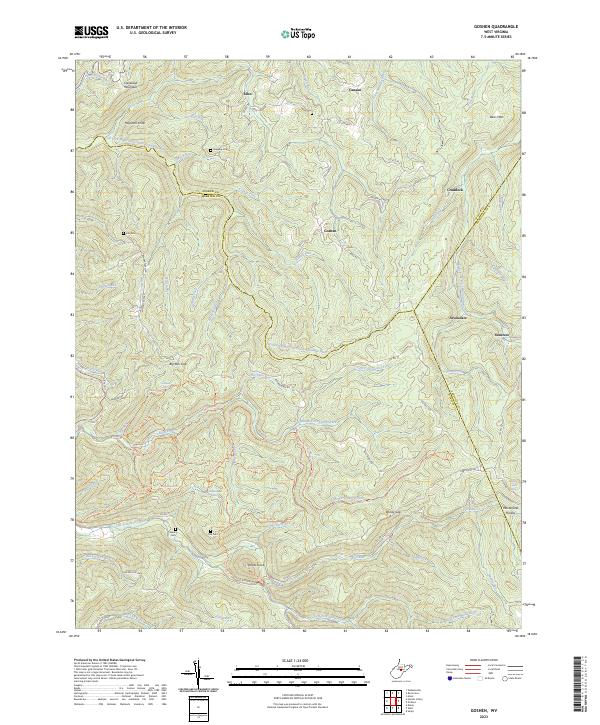
2023 Goshen
Webster County, WV
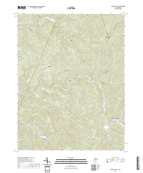
2023 Hacker Valley
Webster County, WV
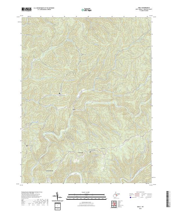
2023 Skelt
Webster County, WV
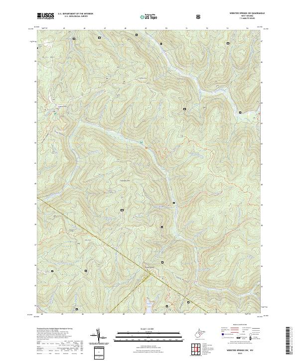
2023 Webster Springs SW
Webster County, WV
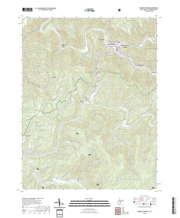
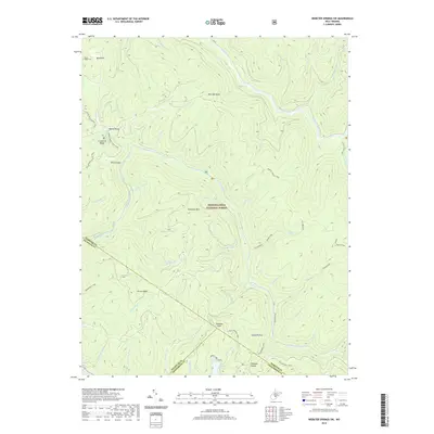
2023 Webster Springs
Webster County, WV
Featured Locations
- Addison (Webster Springs), WV
- Bolair, WV
- Curtin, WV
- Skidmore Crossing, WV
- Webster Springs, Addison (Webster Springs)