
1918 Map of Webster Springs
USGS Topo · Published 1918About this map
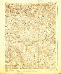
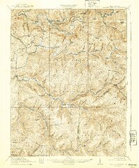
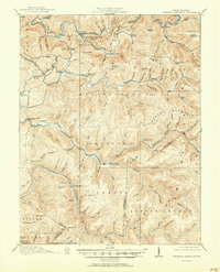
Webster Springs (Addison) serves as the central hub of this 1918 West Virginia survey, marking a period of intense industrial activity in the mountain highlands. The landscape is defined by the convergence of the Elk River, Gauley River, and Williams River, with transport networks like the Virginia and West Virginia RR and the specialized Timber RR highlighting the era's reliance on timber extraction. This map reveals a distributed network of rural life, evidenced by numerous local institutions such as the Cherry Falls School, St. Michael School, and Mill Run School. From the industrial center of Richwood in the southwest to the remote Little Levels region, the map preserves the exact locations of family-named landmarks like Payne Knob and Jonathan Knob, alongside vanished river crossings and railroad junctions that once supported the local mountain economy.
Find a feature on this map
103 named features on this map. Tap any name to fly to it.
Don’t see what you’re looking for? This feature index may not catch every label — zoom into the map to look around manually.
Map Details
Editions of this 1918 Webster Springs Map
4 editions found
Other maps of this area

1889 · Nicholas
USGS Topo · 1:125,000

1891 · Nicholas
USGS Topo · 1:125,000

1891 · Huntersville
USGS Topo · 1:125,000

1893 · Buckhannon
USGS Topo · 1:125,000

1893 · Sutton
USGS Topo · 1:125,000

1894 · Huntersville
USGS Topo · 1:125,000

1896 · Buckhannon
USGS Topo · 1:125,000

1897 · Buckhannon
USGS Topo · 1:125,000

1901 · Nicholas
USGS Topo · 1:125,000

1908 · Sutton
USGS Topo · 1:48,000
Featured Places
- Addison (Webster Springs), WV
- Webster Springs, Addison (Webster Springs)
- Curtin, WV
- Skidmore Crossing, WV
- Bolair, WV