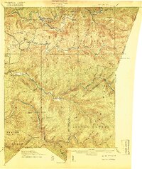
1918 Map of Webster Springs
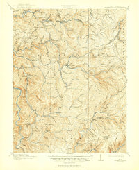
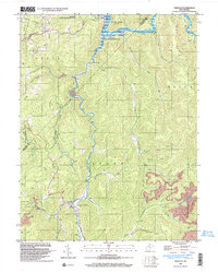
USGS Topo · Published 1918This historical map portrays the area of Webster Springs in 1918, primarily covering Webster County as well as portions of Greenbrier County, Pocahontas County, and Nicholas County. Featuring a scale of 1:62500, this map provides a highly detailed snapshot of the terrain, roads, buildings, counties, and historical landmarks in the Webster Springs region at the time. Published in 1918, it is one of 4 known editions of this map due to revisions or reprints.
Find a feature on this map
103 named features on this map. Tap any name to fly to it.
Don’t see what you’re looking for? This feature index may not catch every label — zoom into the map to look around manually.
Map Details
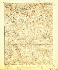
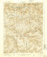
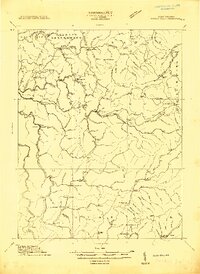
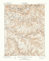
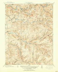
Editions of this 1918 Webster Springs Map
4 editions found
Historical Maps of Dorrtown Through Time
14 maps found
1913 Hacker Valley
Webster County, WV
1915 Hacker Valley
Webster County, WV
1915 Webster Springs
Webster County, WV
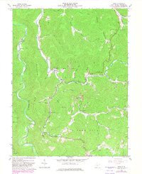
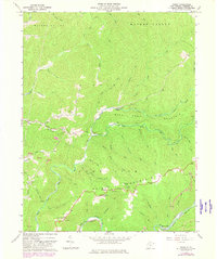
1918 Webster Springs
Webster County, WV
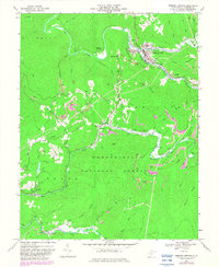
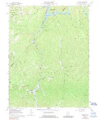
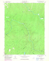
1966 Webster Springs
Webster County, WV
1967 Diana
Webster County, WV
1967 Erbacon
Webster County, WV
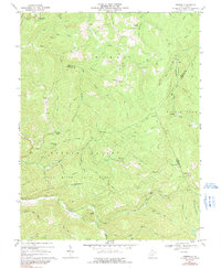
1967 Goshen
Webster County, WV
1967 Hacker Valley
Webster County, WV
1967 Skelt
Webster County, WV
1967 Webster Springs SW
Webster County, WV
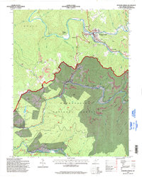
1995 Webster Springs SW
Webster County, WV
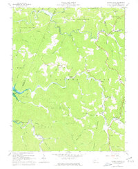
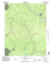
1995 Webster Springs
Webster County, WV
1997 Erbacon
Webster County, WV
Featured Locations
- Addison (Webster Springs), WV
- Bolair, WV
- Curtin, WV
- Skidmore Crossing, WV
- Webster Springs, Addison (Webster Springs)