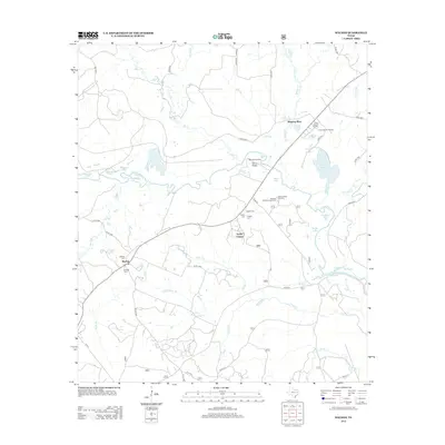
2013 Map of Weches
USGS Topo · Published 2013About this map
Weeping Mary and Weches anchor this 2013 survey of the East Texas timberlands where the Neches River winds through a dense network of sloughs and lakes. The landscape is defined by its riparian complexity, featuring numerous water bodies such as Horseshoe Lake, Sawmill Lake, and the Chain of Lakes that occupy the river's floodplains. The settlement pattern follows the higher ground, with historic community centers like Easley Chapel and the nearby Easley Cem providing a sense of the area's social geography.
Find a feature on this map
60 named features on this map. Tap any name to fly to it.
Don’t see what you’re looking for? This feature index may not catch every label — zoom into the map to look around manually.
Map Details
Editions of this 2013 Weches Map
This is the sole edition of this map. No revisions or reprints were ever made.
Other maps of this area

1946 · Alto
USGS Topo · 1:62,500

1950 · Crockett NE
USGS Topo · 1:24,000

1950 · Kennard NE
USGS Topo · 1:24,000

1950 · Ratcliff
USGS Topo · 1:24,000

1951 · Crockett NE
USGS Topo · 1:24,000

1951 · Kennard NE
USGS Topo · 1:24,000

1951 · Ratcliff
USGS Topo · 1:24,000

1952 · Slocum
USGS Topo · 1:62,500

1953 · Palestine
USGS Topo · 1:250,000

1957 · Palestine
USGS Topo · 1:250,000