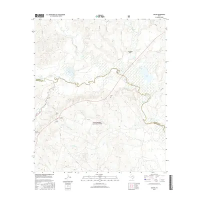
2016 Map of Weches
USGS Topo · Published 2016About this map
The Neches River forms a winding natural boundary between Cherokee and Houston counties, carving a complex landscape of oxbows and swampy lowlands. This riparian corridor is dotted with numerous small bodies of water, including Sawmill Lake, Brushy Lake, and the evocative Chain of Lakes. The terrain south of the river is largely defined by the protected acreage of the Davy Crockett National Forest, where deep drainage systems like Boggy Glade Br and Camp Cr flow through the timberland.
Find a feature on this map
50 named features on this map. Tap any name to fly to it.
Don’t see what you’re looking for? This feature index may not catch every label — zoom into the map to look around manually.
Map Details
Editions of this 2016 Weches Map
This is the sole edition of this map. No revisions or reprints were ever made.
Other maps of this area

1946 · Alto
USGS Topo · 1:62,500

1950 · Crockett NE
USGS Topo · 1:24,000

1950 · Kennard NE
USGS Topo · 1:24,000

1950 · Ratcliff
USGS Topo · 1:24,000

1951 · Crockett NE
USGS Topo · 1:24,000

1951 · Kennard NE
USGS Topo · 1:24,000

1951 · Ratcliff
USGS Topo · 1:24,000

1952 · Slocum
USGS Topo · 1:62,500

1953 · Palestine
USGS Topo · 1:250,000

1957 · Palestine
USGS Topo · 1:250,000