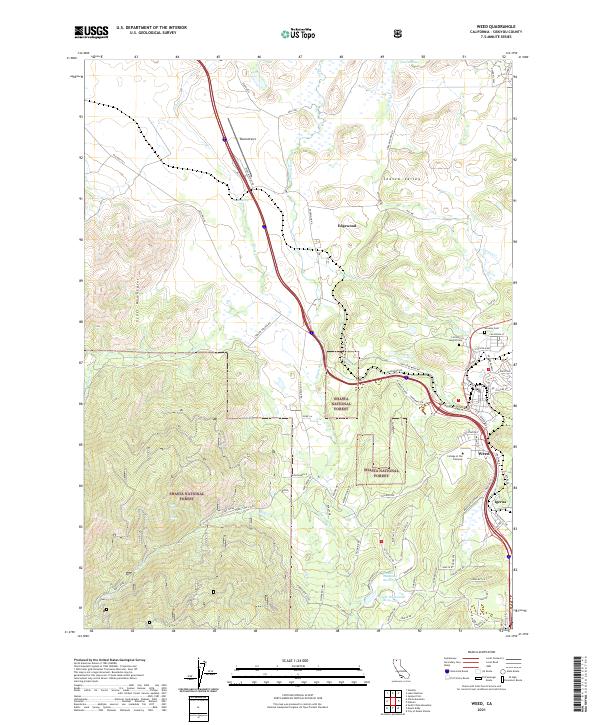
2021 Map of Weed
USGS Topo · Published 2021About this map
The Shasta Valley serves as the backdrop for this northern California landscape, where the lumber and transit hub of Weed is situated between the volcanic peaks and the Scott Mountains. The infrastructure of the area is defined by the Union Pacific railroad and the corridor of Interstate 5, which passes by the Weed Airport and the historic community of Edgewood. In the southeastern portion of the quadrangle, the settlement of Igerna sits near the rail line as it winds through the foothills.
Find a feature on this map
85 named features on this map. Tap any name to fly to it.
Don’t see what you’re looking for? This feature index may not catch every label — zoom into the map to look around manually.
Map Details
Editions of this 2021 Weed Map
This is the sole edition of this map. No revisions or reprints were ever made.
Other maps of this area

1886 · Shasta
USGS Topo · 1:250,000

1894 · Shasta
USGS Topo · 1:250,000

1921 · Shasta Valley Sheet No 7
USGS Topo · 1:24,000

1921 · Shasta Valley Sheet No 1
USGS Topo · 1:24,000

1922 · Shasta Valley Sheet No 10
USGS Topo · 1:24,000

1922 · Shasta Valley Sheet No 1 S
USGS Topo · 1:24,000

1922 · Shasta Valley Sheet No 9
USGS Topo · 1:24,000
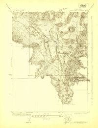
1922 · Shasta Valley Sheet No 8
USGS Topo · 1:24,000

1923 · Sawyers Bar
USGS Topo · 1:125,000

1931 · Etna
USGS Topo · 1:96,000