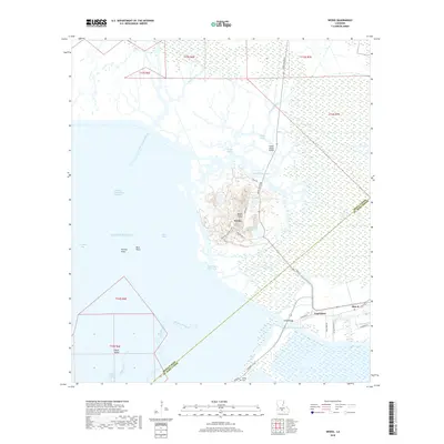
2018 Map of Weeks
USGS Topo · Published 2018About this map
Weeks Island rises as a distinct topographical feature above the marshy Louisiana coastline, serving as a hub of activity centered around the settlement of Weeks. The landscape is defined by its complex hydrography, where the Intracoastal Waterway cuts through the wetlands to connect Weeks Bay and the Gulf of Mexico. This salt dome formation creates unique terrain features such as Sandy Bottom Pond and Plantation Lake, which stand in contrast to the surrounding tidal bayous.
Find a feature on this map
44 named features on this map. Tap any name to fly to it.
Don’t see what you’re looking for? This feature index may not catch every label — zoom into the map to look around manually.
Map Details
Editions of this 2018 Weeks Map
This is the sole edition of this map. No revisions or reprints were ever made.
Other maps of this area

1937 · Bayou Sale
USGS Topo · 1:62,500

1937 · Jeanerette
USGS Topo · 1:62,500

1937 · Derouen
USGS Topo · 1:62,500

1945 · New Orleans
USGS Topo · 1:250,000

1948 · Cypremort Point
USGS Topo · 1:24,000

1949 · Cypremort Pt
USGS Topo · 1:31,680

1954 · Jeanerette
USGS Topo · 1:62,500

1957 · Bayou Sale
USGS Topo · 1:62,500

1963 · New Orleans
USGS Topo · 1:250,000
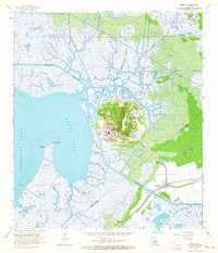
1963 · Weeks
USGS Topo · 1:24,000