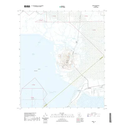
2020 Map of Weeks
USGS Topo · Published 2020About this map
Weeks Island rises as a prominent topographic feature amidst the sprawling marshlands of Iberia and St. Mary Parishes, where the salt dome topography creates a unique upland environment surrounded by coastal wetlands. This industrial and geological landmark is accessed via Weeks Island Rd, serving the settlement of Weeks and various industrial operations. To the south and east, the transition to the coastal prairie is marked by the small communities of Cypremort and Alice B, which are connected by a network of rural routes like Louisa Rd N and Cane Field Rd.
Find a feature on this map
41 named features on this map. Tap any name to fly to it.
Don’t see what you’re looking for? This feature index may not catch every label — zoom into the map to look around manually.
Map Details
Editions of this 2020 Weeks Map
This is the sole edition of this map. No revisions or reprints were ever made.
Other maps of this area

1937 · Bayou Sale
USGS Topo · 1:62,500

1937 · Jeanerette
USGS Topo · 1:62,500

1937 · Derouen
USGS Topo · 1:62,500

1945 · New Orleans
USGS Topo · 1:250,000

1948 · Cypremort Point
USGS Topo · 1:24,000

1949 · Cypremort Pt
USGS Topo · 1:31,680

1954 · Jeanerette
USGS Topo · 1:62,500

1957 · Bayou Sale
USGS Topo · 1:62,500

1963 · New Orleans
USGS Topo · 1:250,000
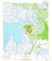
1963 · Weeks
USGS Topo · 1:24,000