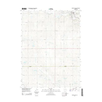
2014 Map of Weeping Water
USGS Topo · Published 2014About this map
Weeping Water sits at the northern edge of this Nebraska landscape, where the town layout is defined by the winding course of Weeping Water Cr. The surrounding countryside in Cass and Otoe counties is a complex network of agricultural drainage, characterized by an extensive system of small reservoirs like Wilson Cr Reservoir 12-18 and Wilson Cr Reservoir 12-8 that manage the flow of Wilson Cr and the N Fork Little Nemaha River. This 2014 survey documents the modern rural infrastructure, showing a transition from the structured street grid of the village to the wide-reaching sectional roads such as Fletcher Ave and O St. To the southeast, the Avoca Cem remains a quiet landmark on the prairie, while the S Br Weeping Water Cr carves its way through the eastern terrain.
Find a feature on this map
32 named features on this map. Tap any name to fly to it.
Don’t see what you’re looking for? This feature index may not catch every label — zoom into the map to look around manually.
Map Details
Editions of this 2014 Weeping Water Map
This is the sole edition of this map. No revisions or reprints were ever made.
Other maps of this area

1903 · Weeping Water
USGS Topo · 1:125,000

1929 · Weeping Water
USGS Topo · 1:125,000

1955 · Lincoln
USGS Topo · 1:250,000
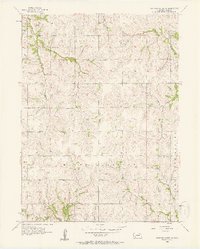
1956 · Weeping Water NE
USGS Topo · 1:24,000

1957 · Lincoln
USGS Topo · 1:250,000

1958 · Lincoln
USGS Topo · 1:250,000
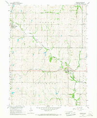
1966 · Dunbar
USGS Topo · 1:24,000
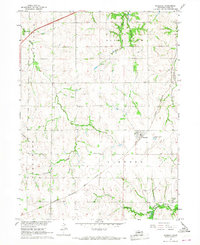
1966 · Murdock
USGS Topo · 1:24,000
1966 · Avoca
USGS Topo · 1:24,000
1966 · Elmwood
USGS Topo · 1:24,000