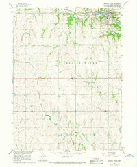
1966 Map of Weeping Water
USGS Topo · Published 1968About this map
Industrial limestone production and rural school districts define this mid-1960s landscape in Cass and Otoe Counties. The town of Weeping Water is surrounded by extensive Quarries, illustrating the area's importance to the regional mineral economy. The Missouri Pacific railroad serves this corridor, cutting across the rolling terrain between Elmwood and the creek valleys. Several small rural education sites are visible, including Cottage Hill Sch, Pine Sch, and Waterloo Sch, which provide specific points of interest for local genealogy and land-use studies.
Find a feature on this map
27 named features on this map. Tap any name to fly to it.
Don’t see what you’re looking for? This feature index may not catch every label — zoom into the map to look around manually.
Map Details
Editions of this 1966 Weeping Water Map
This is the sole edition of this map. No revisions or reprints were ever made.
Other maps of this area

1903 · Weeping Water
USGS Topo · 1:125,000

1929 · Weeping Water
USGS Topo · 1:125,000

1955 · Lincoln
USGS Topo · 1:250,000
1956 · Weeping Water NE
USGS Topo · 1:24,000

1957 · Lincoln
USGS Topo · 1:250,000

1958 · Lincoln
USGS Topo · 1:250,000
1966 · Dunbar
USGS Topo · 1:24,000
1966 · Murdock
USGS Topo · 1:24,000
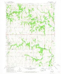
1966 · Avoca
USGS Topo · 1:24,000
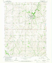
1966 · Elmwood
USGS Topo · 1:24,000