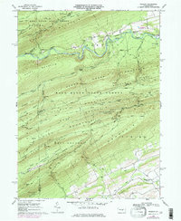
1968 Map of Weikert
USGS Topo · Published 1975About this map
Penns Creek winds through the heart of this landscape, a remote stretch of Central Pennsylvania defined by the dramatic ridgelines of Bald Eagle Mountain and White Mountain. The settlement of Weikert serves as the primary outpost in this heavily forested region, where the Hironimus Ch and local cemeteries mark the long-standing community footprint near the creek's edge. Much of the southern terrain is preserved within the Snyder-Middleswarth State Park and Bald Eagle State Forest, showing a network of specialized trails and forest roads like Sawmill Road and Mingle Road.
Find a feature on this map
73 named features on this map. Tap any name to fly to it.
Don’t see what you’re looking for? This feature index may not catch every label — zoom into the map to look around manually.
Map Details
Editions of this 1968 Weikert Map
2 editions found
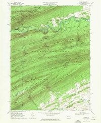
Other maps of this area

1907 · Millerstown
USGS Topo · 1:62,500

1925 · Mifflintown
USGS Topo · 1:48,000

1934 · Mifflintown
USGS Topo · 1:62,500

1937 · Mifflintown
USGS Topo · 1:62,500

1937 · Millheim
USGS Topo · 1:48,000

1938 · Mifflinburg
USGS Topo · 1:48,000

1941 · Millheim
USGS Topo · 1:62,500

1943 · Millerstown
USGS Topo · 1:62,500

1943 · Mifflinburg
USGS Topo · 1:62,500

1950 · Harrisburg
USGS Topo · 1:250,000
Featured Places
- Decatur Township, PA
- Pardee, Hartley Township
- Hartley Township, PA
- Spring Township, PA
- Weikert, Hartley Township