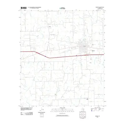
2010 Map of Weimar
USGS Topo · Published 2010About this map
Weimar serves as the primary hub of this Colorado County landscape, where the grid of city streets meets a vast network of rural roads and watercourses. The drainage of the East Navidad River and its tributaries, including Middle Creek and Clear Creek, dictates the movement of people and commerce across the prairie. The settlement of Dubina sits north of town, connected by the eponymous Dubina-Weimar Rd, while New Bielau occupies the southeast corner along Cottonwood Creek. Local history is deeply embedded in the rural landscape through family-named landmarks and resting places such as Boeer Cemetery, Hehr Cemetery, and Clear Creek Cemetery. The transition from historic farm-to-market routes like FM 155 to modern interstate infrastructure reveals the evolution of transport in this Texas ranching and farming region.
Find a feature on this map
59 named features on this map. Tap any name to fly to it.
Don’t see what you’re looking for? This feature index may not catch every label — zoom into the map to look around manually.
Map Details
Editions of this 2010 Weimar Map
This is the sole edition of this map. No revisions or reprints were ever made.
Other maps of this area

1919 · Fayettsville
USGS Topo · 1:62,500

1919 · Schulenburg
USGS Topo · 1:62,500

1953 · Seguin
USGS Topo · 1:250,000

1956 · Glidden
USGS Topo · 1:62,500

1956 · La Grange
USGS Topo · 1:62,500

1957 · Ellinger
USGS Topo · 1:24,000

1957 · Borden
USGS Topo · 1:24,000

1957 · Ammannsville
USGS Topo · 1:24,000

1958 · Seguin
USGS Topo · 1:250,000

1965 · Oakland
USGS Topo · 1:24,000