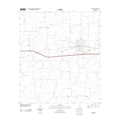
2013 Map of Weimar
USGS Topo · Published 2013About this map
The railroad town of Weimar serves as the central hub in this portion of Colorado County, where the grid of city streets meets the expansive rural landscape of south-central Texas. The surrounding countryside is defined by the winding course of the E Navidad River and its tributaries, including Middle Creek and Black Bayou. This 2013 survey illustrates the area's agricultural and Czech-German heritage through its scattered rural communities and naming conventions.
Find a feature on this map
82 named features on this map. Tap any name to fly to it.
Don’t see what you’re looking for? This feature index may not catch every label — zoom into the map to look around manually.
Map Details
Editions of this 2013 Weimar Map
This is the sole edition of this map. No revisions or reprints were ever made.
Other maps of this area

1919 · Fayettsville
USGS Topo · 1:62,500

1919 · Schulenburg
USGS Topo · 1:62,500

1953 · Seguin
USGS Topo · 1:250,000

1956 · Glidden
USGS Topo · 1:62,500

1956 · La Grange
USGS Topo · 1:62,500

1957 · Ellinger
USGS Topo · 1:24,000

1957 · Borden
USGS Topo · 1:24,000

1957 · Ammannsville
USGS Topo · 1:24,000

1958 · Seguin
USGS Topo · 1:250,000

1965 · Oakland
USGS Topo · 1:24,000