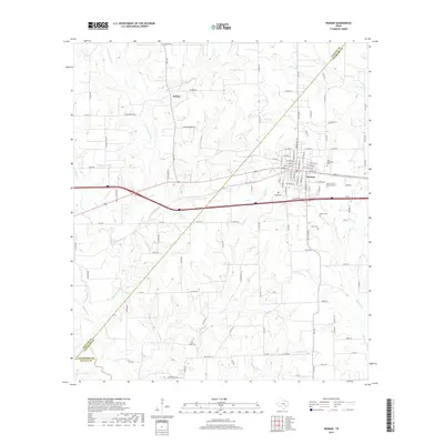
2019 Map of Weimar
USGS Topo · Published 2019About this map
Weimar serves as the central hub of this South Texas landscape, where the intersection of major transit routes and the E Navidad River corridor defines the local geography. The map reveals a transition from the structured street grid of the town center to the sprawling rural properties and family farms that characterize the surrounding countryside. This area is punctuated by historical burial sites such as Clear Creek Cem, Hehr Cem, and Boeer Cem, providing valuable physical markers for genealogists and local historians tracing early settlement patterns.
Find a feature on this map
110 named features on this map. Tap any name to fly to it.
Don’t see what you’re looking for? This feature index may not catch every label — zoom into the map to look around manually.
Map Details
Editions of this 2019 Weimar Map
This is the sole edition of this map. No revisions or reprints were ever made.
Other maps of this area

1919 · Fayettsville
USGS Topo · 1:62,500

1919 · Schulenburg
USGS Topo · 1:62,500

1953 · Seguin
USGS Topo · 1:250,000

1956 · Glidden
USGS Topo · 1:62,500

1956 · La Grange
USGS Topo · 1:62,500

1957 · Ellinger
USGS Topo · 1:24,000

1957 · Borden
USGS Topo · 1:24,000

1957 · Ammannsville
USGS Topo · 1:24,000

1958 · Seguin
USGS Topo · 1:250,000

1965 · Oakland
USGS Topo · 1:24,000