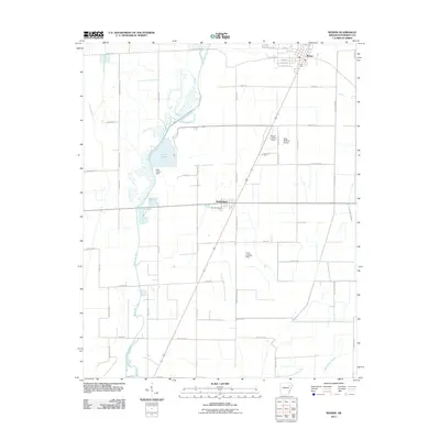
2011 Map of Weiner
USGS Topo · Published 2011About this map
Bayou De View snakes through the western portion of this Arkansas landscape, defining the local drainage and agricultural patterns of Poinsett County. This 2011 survey illustrates the rural infrastructure surrounding the town of Weiner and the smaller village of Waldenburg. The presence of multiple aviation points, including the Weiner Landing Field, Sally Wofford Airport, and the Horst Landing Strip, underscores the importance of aerial application and transport in this rice-growing region.
Find a feature on this map
55 named features on this map. Tap any name to fly to it.
Don’t see what you’re looking for? This feature index may not catch every label — zoom into the map to look around manually.
Map Details
Editions of this 2011 Weiner Map
This is the sole edition of this map. No revisions or reprints were ever made.
Other maps of this area

1935 · Tuckerman
USGS Topo · 1:62,500

1939 · Vanndale
USGS Topo · 1:62,500

1939 · Weiner
USGS Topo · 1:62,500

1940 · Tilton
USGS Topo · 1:62,500

1953 · Memphis
USGS Topo · 1:250,000

1956 · Memphis
USGS Topo · 1:250,000

1956 · Tilton
USGS Topo · 1:62,500

1958 · Vanndale
USGS Topo · 1:62,500

1959 · Weiner
USGS Topo · 1:62,500

1960 · Weiner
USGS Topo · 1:62,500