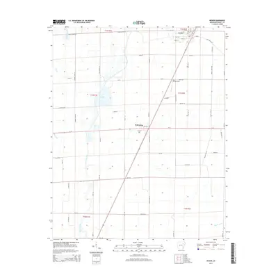
2014 Map of Weiner
USGS Topo · Published 2014About this map
Weiner and Waldenburg anchor this Poinsett County landscape, illustrating the geometric grid of modern agricultural and drainage infrastructure in the Arkansas Delta. The area is defined by a sophisticated water management system designed to reclaim the fertile lowlands, featuring the winding course of Bayou De View alongside engineered channels like Flag Slough Ditch. At the center of the quadrangle, Lake Hogue provides a significant reservoir, while the Sally Wofford Airport and a network of named tracks such as John Deere Ln and Silver Maple Ln reflect the region's enduring ties to commercial aviation and mechanized farming. Local history is grounded at Zion Cem, situated just south of the intersection of Ar-14 and the diagonal rail line, marking a point of continuity amidst the sprawling fields and intermittent woodlands of the t11n r1e and t11n r2e townships.
Find a feature on this map
64 named features on this map. Tap any name to fly to it.
Don’t see what you’re looking for? This feature index may not catch every label — zoom into the map to look around manually.
Map Details
Editions of this 2014 Weiner Map
This is the sole edition of this map. No revisions or reprints were ever made.
Other maps of this area

1935 · Tuckerman
USGS Topo · 1:62,500

1939 · Vanndale
USGS Topo · 1:62,500

1939 · Weiner
USGS Topo · 1:62,500

1940 · Tilton
USGS Topo · 1:62,500

1953 · Memphis
USGS Topo · 1:250,000

1956 · Memphis
USGS Topo · 1:250,000

1956 · Tilton
USGS Topo · 1:62,500

1958 · Vanndale
USGS Topo · 1:62,500

1959 · Weiner
USGS Topo · 1:62,500

1960 · Weiner
USGS Topo · 1:62,500