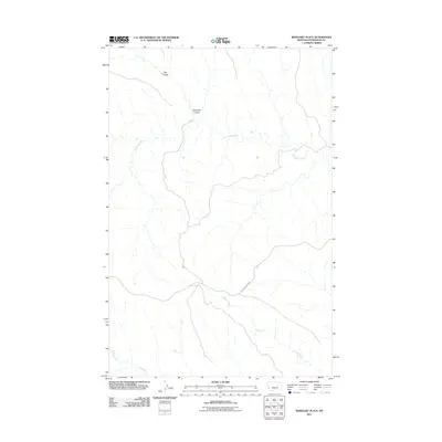
2011 Map of Weingart Place
USGS Topo · Published 2011About this map
The Sacagawea River carves a winding path through this portion of Petroleum County, defining the drainage patterns of a landscape marked by intermittent coulees and seasonal waterways. Tributaries like Hay Coulee and Carpenter Coulee feed into the river from the north, while the southern terrain is characterized by the expansive basins of Alkali Creek and Drag Creek. Human presence is sparse in this stretch of central Montana, anchored primarily by the passage of Crooked Creek Rd, which provides the main terrestrial connection across the varied elevations. This 2011 survey documents the natural hydrography of the region in high detail, showing the intricate network of small streams and runoff channels that shape the Missouri River watershed in this isolated area.
Find a feature on this map
6 named features on this map. Tap any name to fly to it.
Don’t see what you’re looking for? This feature index may not catch every label — zoom into the map to look around manually.
Map Details
Editions of this 2011 Weingart Place Map
This is the sole edition of this map. No revisions or reprints were ever made.
Other maps of this area

1954 · Jordan
USGS Topo · 1:250,000

1954 · Lewistown
USGS Topo · 1:250,000

1956 · Jordan
USGS Topo · 1:250,000

1958 · Jordan
USGS Topo · 1:250,000

1959 · Lewistown
USGS Topo · 1:250,000

1964 · Jordan
USGS Topo · 1:250,000

1965 · Dry Coulee
USGS Topo · 1:24,000

1965 · Germaine Coulee West
USGS Topo · 1:24,000

1965 · Chain Buttes
USGS Topo · 1:24,000

1965 · Locke Ranch
USGS Topo · 1:24,000