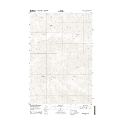
2014 Map of Weingart Place
USGS Topo · Published 2014About this map
Weingart Place serves as the namesake reference point for this central Montana landscape within Petroleum County. The terrain is defined by the winding course of the Sacagawea River, which carves through a network of intricate drainages and coulees typical of the region's semi-arid breaks. These topographical features, including Carpenter Coulee and Hay Coulee, underscore the historical challenges of ranching and movement across this isolated territory. Transport remains focused on the unpaved corridor of Crooked Creek Rd, which provides the primary access through the surrounding plains. The presence of ephemeral water sources like Alkali Cr and Drag Cr reflects the seasonal hydrology that governed settlement patterns and livestock management in this part of the state during the early 21st century.
Find a feature on this map
11 named features on this map. Tap any name to fly to it.
Don’t see what you’re looking for? This feature index may not catch every label — zoom into the map to look around manually.
Map Details
Editions of this 2014 Weingart Place Map
This is the sole edition of this map. No revisions or reprints were ever made.
Other maps of this area

1954 · Jordan
USGS Topo · 1:250,000

1954 · Lewistown
USGS Topo · 1:250,000

1956 · Jordan
USGS Topo · 1:250,000

1958 · Jordan
USGS Topo · 1:250,000

1959 · Lewistown
USGS Topo · 1:250,000

1964 · Jordan
USGS Topo · 1:250,000

1965 · Dry Coulee
USGS Topo · 1:24,000

1965 · Germaine Coulee West
USGS Topo · 1:24,000

1965 · Chain Buttes
USGS Topo · 1:24,000

1965 · Locke Ranch
USGS Topo · 1:24,000