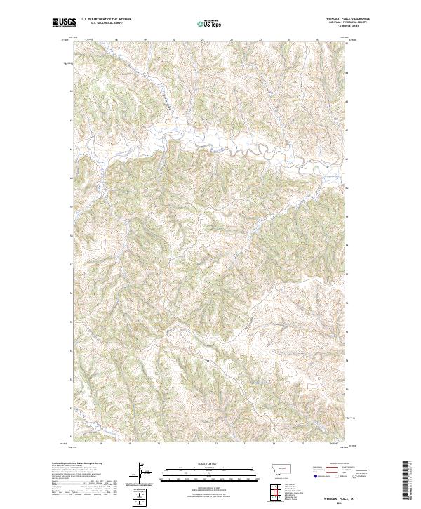
2024 Map of Weingart Place
USGS Topo · Published 2024About this map
The Sacagawea River winds through this section of Petroleum County, cutting a complex drainage pattern across the high plains. This modern survey illustrates the intersection of public land management and natural hydrography, specifically where the Charles M Russell National Wildlife Refuge occupies the eastern edge of the quadrangle. The terrain is defined by a network of seasonal watercourses and coulees, including Hay Coulee and Carpenter Coulee in the north, which feed into the primary river valley.
Find a feature on this map
11 named features on this map. Tap any name to fly to it.
Don’t see what you’re looking for? This feature index may not catch every label — zoom into the map to look around manually.
Map Details
Editions of this 2024 Weingart Place Map
This is the sole edition of this map. No revisions or reprints were ever made.
Other maps of this area

1954 · Jordan
USGS Topo · 1:250,000

1954 · Lewistown
USGS Topo · 1:250,000

1956 · Jordan
USGS Topo · 1:250,000

1958 · Jordan
USGS Topo · 1:250,000

1959 · Lewistown
USGS Topo · 1:250,000

1964 · Jordan
USGS Topo · 1:250,000

1965 · Dry Coulee
USGS Topo · 1:24,000

1965 · Germaine Coulee West
USGS Topo · 1:24,000

1965 · Chain Buttes
USGS Topo · 1:24,000

1965 · Locke Ranch
USGS Topo · 1:24,000