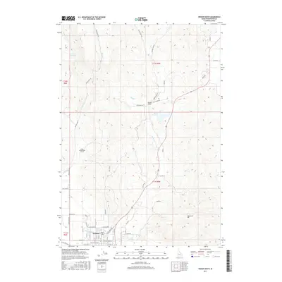
2017 Map of Weiser North
USGS Topo · Published 2017About this map
Weiser anchors the southern portion of this landscape where the residential grid meets the irrigation infrastructure of the Galloway Canal. The transition from town to the northern hills is defined by a network of drainage basins and creek beds, including Jenkins Cr, Monroe Cr, and Sheep Cr. These watercourses support significant local landmarks like the Jenkins Cr Reservoir and Barton Reservoir, which are vital in this arid environment.
Find a feature on this map
55 named features on this map. Tap any name to fly to it.
Don’t see what you’re looking for? This feature index may not catch every label — zoom into the map to look around manually.
Map Details
Editions of this 2017 Weiser North Map
This is the sole edition of this map. No revisions or reprints were ever made.
Other maps of this area

1897 · Weiser
USGS Topo · 1:125,000

1951 · Moores Hollow
USGS Topo · 1:24,000

1951 · Moores Hollow
USGS Topo · 1:62,500

1951 · Weiser South
USGS Topo · 1:24,000

1952 · Weiser Cove
USGS Topo · 1:24,000

1952 · Olds Ferry
USGS Topo · 1:62,500

1952 · Olds Ferry SE
USGS Topo · 1:24,000

1953 · Mann Creek
USGS Topo · 1:62,500

1955 · Baker
USGS Topo · 1:250,000

1959 · Baker
USGS Topo · 1:250,000