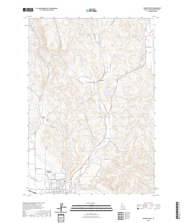
2024 Map of Weiser North
USGS Topo · Published 2024About this map
Weiser serves as the focal point for this section of Washington County, where the valley floor meets the rising foothills of western Idaho. The residential grid is anchored by Hillcrest Cem on the northern edge of town, while irrigation infrastructure like the Galloway Canal traces the base of the higher terrain, illustrating the critical management of water in this semi-arid landscape. To the north, the terrain becomes increasingly complex, marked by distinct landmarks such as Sagebrush Hill and the winding course of Monroe Creek.
Find a feature on this map
57 named features on this map. Tap any name to fly to it.
Don’t see what you’re looking for? This feature index may not catch every label — zoom into the map to look around manually.
Map Details
Editions of this 2024 Weiser North Map
This is the sole edition of this map. No revisions or reprints were ever made.
Other maps of this area

1897 · Weiser
USGS Topo · 1:125,000

1951 · Moores Hollow
USGS Topo · 1:24,000

1951 · Moores Hollow
USGS Topo · 1:62,500

1951 · Weiser South
USGS Topo · 1:24,000

1952 · Weiser Cove
USGS Topo · 1:24,000

1952 · Olds Ferry
USGS Topo · 1:62,500

1952 · Olds Ferry SE
USGS Topo · 1:24,000

1953 · Mann Creek
USGS Topo · 1:62,500

1955 · Baker
USGS Topo · 1:250,000

1959 · Baker
USGS Topo · 1:250,000