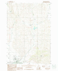
1987 Map of Weiser North
USGS Topo · Published 1987About this map
The northern reaches of Weiser meet the agricultural and desert landscape of the Idaho-Washington Co. line in this late-1980s topographic study. The town’s recreational and social infrastructure is concentrated near the Union Pacific line, including the Rodeo Grounds, Golf Course, and Athletic Field. To the north, the land rises into prominent terrain features such as Sagebrush Hill and the distinctive Devils Elbow bend along Monroe Creek.
Find a feature on this map
19 named features on this map. Tap any name to fly to it.
Don’t see what you’re looking for? This feature index may not catch every label — zoom into the map to look around manually.
Map Details
Editions of this 1987 Weiser North Map
This is the sole edition of this map. No revisions or reprints were ever made.
Other maps of this area

1897 · Weiser
USGS Topo · 1:125,000

1951 · Moores Hollow
USGS Topo · 1:24,000

1951 · Moores Hollow
USGS Topo · 1:62,500

1951 · Weiser South
USGS Topo · 1:24,000

1952 · Weiser Cove
USGS Topo · 1:24,000

1952 · Olds Ferry
USGS Topo · 1:62,500

1952 · Olds Ferry SE
USGS Topo · 1:24,000

1953 · Mann Creek
USGS Topo · 1:62,500

1955 · Baker
USGS Topo · 1:250,000

1959 · Baker
USGS Topo · 1:250,000