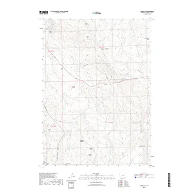
2017 Map of Weiser Pass
USGS Topo · Published 2017About this map
Onion Flats and the surrounding high country of Fremont County are documented here in this 2017 study. The landscape is defined by its drainage systems and distinct topographical transitions, with the Little Popo Agie River cutting through the northwestern corner near Lyons Valley. Numerous named water sources like Big Spring, Coal Mine Spring, and Hidden Spring indicate the critical nature of water management in this arid terrain.
Find a feature on this map
48 named features on this map. Tap any name to fly to it.
Don’t see what you’re looking for? This feature index may not catch every label — zoom into the map to look around manually.
Map Details
Editions of this 2017 Weiser Pass Map
This is the sole edition of this map. No revisions or reprints were ever made.
Other maps of this area

1952 · Lander SE
USGS Topo · 1:24,000

1952 · Lander
USGS Topo · 1:24,000

1953 · Ninemile Hill
USGS Topo · 1:24,000

1953 · Gravel Spring
USGS Topo · 1:24,000

1953 · Schlichting Mountain
USGS Topo · 1:24,000

1953 · Del Monte Ridge
USGS Topo · 1:24,000

1953 · Weiser Pass
USGS Topo · 1:24,000

1954 · Wolf Point
USGS Topo · 1:24,000

1954 · Miners Delight
USGS Topo · 1:24,000

1955 · Lander
USGS Topo · 1:250,000