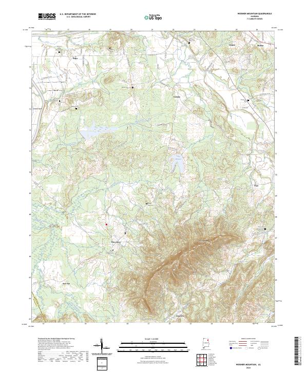
2024 Map of Weisner Mountain
USGS Topo · Published 2024About this map
Weisner Mountain dominates the southern landscape of this Cherokee County region, where the foothills meet a complex network of valley streams. The area is defined by its rural density, evidenced by numerous family and community burial grounds such as Solomon Griffin Stinson Cem and Weaver Cem. Settlement patterns follow the winding course of Terrapin Creek and Sugar Creek, which drain toward the Coosa River system. Small centers of local life appear at Plano, Gnatville, and Tennala, connected by a dense web of county roads that navigate the varying elevations. The presence of Lake Weisner and several churches, including Davis Chapel Cem and Sardis Hill Cem, highlights the enduring connection between the local topography and its longtime residents. This modern survey provides a detailed view of the rural crossroads and drainage basins that have shaped eastern Alabama for generations.
Find a feature on this map
85 named features on this map. Tap any name to fly to it.
Don’t see what you’re looking for? This feature index may not catch every label — zoom into the map to look around manually.
Map Details
Editions of this 2024 Weisner Mountain Map
This is the sole edition of this map. No revisions or reprints were ever made.
Historical Maps of Pine Grove Through Time
10 maps found
1967 Ellisville
Cherokee County, AL
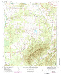
1967 Indian Mountain
Cherokee County, AL
1967 Jamestown
Cherokee County, AL
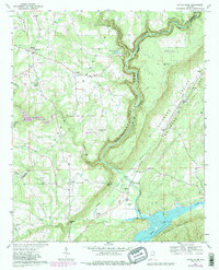
1967 Little River
Cherokee County, AL
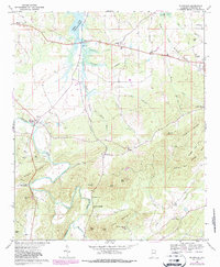
1967 Weisner Mountain
Cherokee County, AL
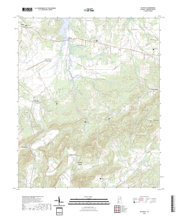
2024 Ellisville
Cherokee County, AL
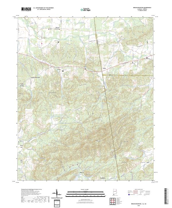
2024 Indian Mountain
Cherokee County, AL
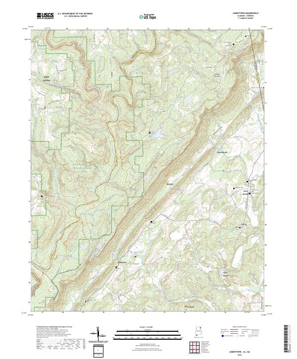
2024 Jamestown
Cherokee County, AL
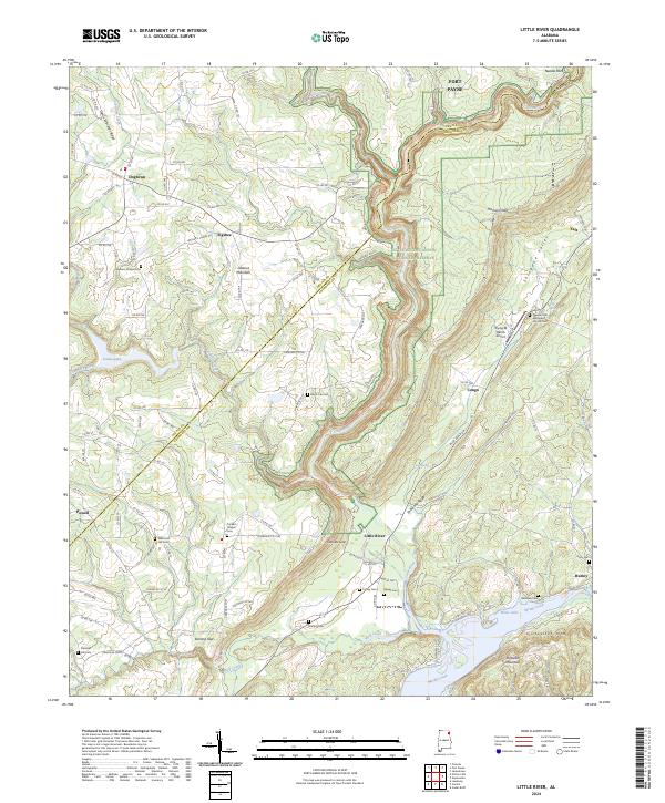
2024 Little River
Cherokee County, AL
2024 Weisner Mountain
Cherokee County, AL