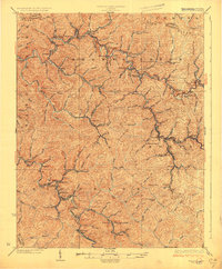
1926 Map of Welch
USGS Topo · Published 1926About this map
Welch serves as the focal point of this 1920s topography, illustrating the dense industrial footprint in the heart of McDowell County. Following the revision work of R.C. Seitz, the map details a landscape deeply influenced by the Norfolk and Western RR, with rail lines snaking through narrow valleys to serve coal-centric communities like Coalwood and Gary. The dense network of spurs reaching into Adkin Fork and Big Creek reveals the era's intensive resource extraction, connecting numerous company towns and depots.
Find a feature on this map
93 named features on this map. Tap any name to fly to it.
Don’t see what you’re looking for? This feature index may not catch every label — zoom into the map to look around manually.
Map Details
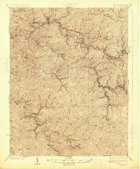
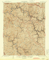
Editions of this 1926 Welch Map
3 editions found
Other maps of this area

1887 · Pocahontas
USGS Topo · 1:125,000

1891 · Tazewell
USGS Topo · 1:125,000

1891 · Pocahontas
USGS Topo · 1:125,000

1891 · Oceana
USGS Topo · 1:125,000

1891 · Raleigh
USGS Topo · 1:125,000

1893 · Oceana
USGS Topo · 1:125,000

1894 · Pocahontas
USGS Topo · 1:125,000

1895 · Tazewell
USGS Topo · 1:125,000

1895 · Pocahontas
USGS Topo · 1:125,000

1897 · Tazewell
USGS Topo · 1:125,000