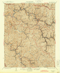
1926 Map of Welch
USGS Topo · Published 1944About this map
Welch serves as the focal point of this McDowell County survey, showing the town at a critical juncture of industrial growth along the Norfolk and Western RR. The map reveals an intricate network of coal-related settlements and company towns branching off the main rail lines, including Coalwood, Gary, and Elbert. The landscape is dominated by the steep drainages of the Tug Fork and Elkhorn Creek, where narrow valleys dictated the placement of every schoolhouse and siding.
Find a feature on this map
108 named features on this map. Tap any name to fly to it.
Don’t see what you’re looking for? This feature index may not catch every label — zoom into the map to look around manually.
Map Details
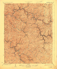
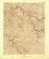
Editions of this 1926 Welch Map
3 editions found
Other maps of this area

1887 · Pocahontas
USGS Topo · 1:125,000

1891 · Tazewell
USGS Topo · 1:125,000

1891 · Pocahontas
USGS Topo · 1:125,000

1891 · Oceana
USGS Topo · 1:125,000

1891 · Raleigh
USGS Topo · 1:125,000

1893 · Oceana
USGS Topo · 1:125,000

1894 · Pocahontas
USGS Topo · 1:125,000

1895 · Tazewell
USGS Topo · 1:125,000

1895 · Pocahontas
USGS Topo · 1:125,000

1897 · Tazewell
USGS Topo · 1:125,000