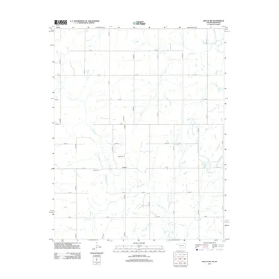
2012 Map of Welch NW
USGS Topo · Published 2012About this map
Rogers serves as the central hub of this agricultural landscape in northeastern Oklahoma, situated at the intersection of a precise grid of rural roads. The area is defined by the winding paths of several watercourses, most notably Big Cabin Cr and Russell Cr, which weave through the section lines and define the local drainage patterns. These creeks likely shaped early settlement and land use before the formalization of the modern road network.
Find a feature on this map
31 named features on this map. Tap any name to fly to it.
Don’t see what you’re looking for? This feature index may not catch every label — zoom into the map to look around manually.
Map Details
Editions of this 2012 Welch NW Map
This is the sole edition of this map. No revisions or reprints were ever made.
Other maps of this area

1886 · Parsons
USGS Topo · 1:125,000

1893 · Parsons
USGS Topo · 1:125,000

1901 · Vinita
USGS Topo · 1:125,000

1913 · Vinita
USGS Topo · 1:125,000

1944 · Oswego
USGS Topo · 1:62,500

1946 · Oswego
USGS Topo · 1:48,000

1946 · Mound Valley
USGS Topo · 1:62,500

1947 · Joplin
USGS Topo · 1:250,000
1948 · Oswego
USGS Topo · 1:62,500
1948 · Mound Valley
USGS Topo · 1:62,500