
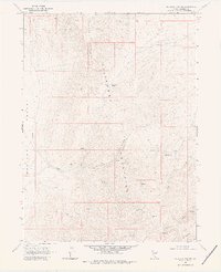
1968 Map of Welches Canyon
USGS Topo · Published 1971About this map
The high desert terrain of the Tuscarora Mountains dominates this 1960s landscape, where drainage patterns define the sparse human footprint. In the north, Richmond Mountain and Richmond Summit overlook a series of small-scale mining operations, including a marked mine and various prospects that suggest the region's enduring mineral interest.
Find a feature on this map
16 named features on this map. Tap any name to fly to it.
Don’t see what you’re looking for? This feature index may not catch every label — zoom into the map to look around manually.
Map Details
Editions of this 1968 Welches Canyon Map
2 editions found
Other maps of this area

1952 · Carlin
USGS Topo · 1:62,500

1955 · Winnemucca
USGS Topo · 1:250,000

1957 · Beowawe
USGS Topo · 1:62,500

1958 · Winnemucca
USGS Topo · 1:250,000

1962 · Winnemucca
USGS Topo · 1:250,000

1968 · Rodeo Creek SW
USGS Topo · 1:24,000

1968 · Rodeo Creek NE
USGS Topo · 1:24,000

1968 · Swales Mountain NW
USGS Topo · 1:24,000

1968 · Rodeo Creek NW
USGS Topo · 1:24,000
1968 · Schroeder Mtn
USGS Topo · 1:24,000