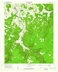
1960 Map of Welchland
USGS Topo · Published 1961About this map
The Rocky River winds through this 1960 landscape, carving a deep valley that serves as the boundary between Van Buren and Warren Counties. The area is defined by a series of prominent peaks and ridges, including Turkeyscratch Mountain, Barnett Mountain, and Long Mountain, which enclose secluded valleys like Douglas Cove. Small agrarian settlements and post offices are scattered throughout the lowlands and hillsides, particularly near the river and along the base of Baker Mountain.
Find a feature on this map
48 named features on this map. Tap any name to fly to it.
Don’t see what you’re looking for? This feature index may not catch every label — zoom into the map to look around manually.
Map Details
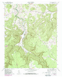
Editions of this 1960 Welchland Map
2 editions found
Other maps of this area

1892 · Pikeville
USGS Topo · 1:125,000

1893 · Mc Minnville
USGS Topo · 1:125,000

1895 · Mc Minnville
USGS Topo · 1:125,000

1895 · Pikeville
USGS Topo · 1:125,000

1935 · Smart Mountain
USGS Topo · 1:24,000

1943 · Cookeville
USGS Topo · 1:100,000

1944 · Cookeville
USGS Topo · 1:100,000
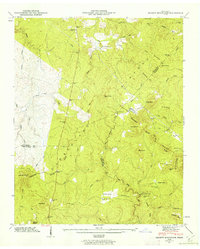
1946 · Smartt Mountain
USGS Topo · 1:24,000
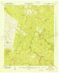
1947 · Smartt Mountain
USGS Topo · 1:24,000

1953 · Chattanooga
USGS Topo · 1:250,000