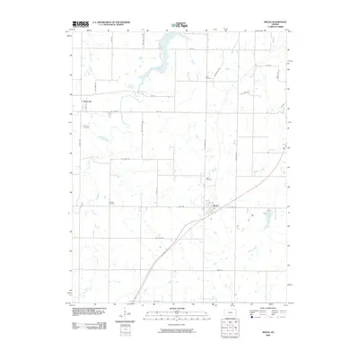
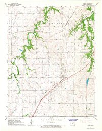
2009 Map of Welda
USGS Topo · Published 2009About this map
Welda and Mont Ida anchor this section of Anderson County, situated in a prairie landscape defined by a grid of rural roads and meandering drainage systems. The town of Welda is notably positioned near Lake Welda and is intersected by the winding route of SW Colony Rd. Further west, the smaller settlement of Mont Ida sits along Main St, surrounded by agricultural land and the upper reaches of Cedar Creek.
Find a feature on this map
36 named features on this map. Tap any name to fly to it.
Don’t see what you’re looking for? This feature index may not catch every label — zoom into the map to look around manually.
Map Details
Editions of this 2009 Welda Map
This is the sole edition of this map. No revisions or reprints were ever made.
Other maps of this area

1885 · Garnett
USGS Topo · 1:125,000

1894 · Garnett
USGS Topo · 1:125,000

1947 · Lawrence
USGS Topo · 1:250,000

1950 · Lawrence
USGS Topo · 1:250,000

1956 · Lawrence
USGS Topo · 1:250,000

1961 · Lawrence
USGS Topo · 1:250,000
1966 · Bush City
USGS Topo · 1:24,000
1966 · Westphalia
USGS Topo · 1:24,000
1966 · Garnett East
USGS Topo · 1:24,000
1966 · Welda
USGS Topo · 1:24,000