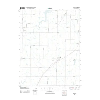
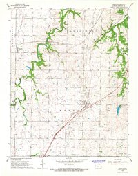
2012 Map of Welda
USGS Topo · Published 2012About this map
Welda and Mont Ida anchor this early 21st-century portrait of south-central Anderson County, defined by a rigid grid of rural roads and an intricate network of prairie streams. The landscape is marked by several significant water bodies, including the Cedar Valley Reservoir in the north and the smaller Lake Welda to the southeast. Genealogists will find a high density of burial sites across the township, from the Welda Cem and Mont Ida Cem near their respective namesake settlements to the more remote Wardell Cem and Hyatt Cem.
Find a feature on this map
54 named features on this map. Tap any name to fly to it.
Don’t see what you’re looking for? This feature index may not catch every label — zoom into the map to look around manually.
Map Details
Editions of this 2012 Welda Map
This is the sole edition of this map. No revisions or reprints were ever made.
Other maps of this area

1885 · Garnett
USGS Topo · 1:125,000

1894 · Garnett
USGS Topo · 1:125,000

1947 · Lawrence
USGS Topo · 1:250,000

1950 · Lawrence
USGS Topo · 1:250,000

1956 · Lawrence
USGS Topo · 1:250,000

1961 · Lawrence
USGS Topo · 1:250,000
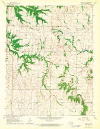
1966 · Bush City
USGS Topo · 1:24,000
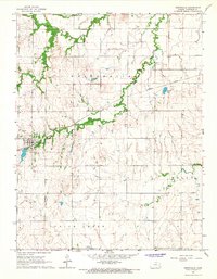
1966 · Westphalia
USGS Topo · 1:24,000
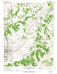
1966 · Garnett East
USGS Topo · 1:24,000
1966 · Welda
USGS Topo · 1:24,000