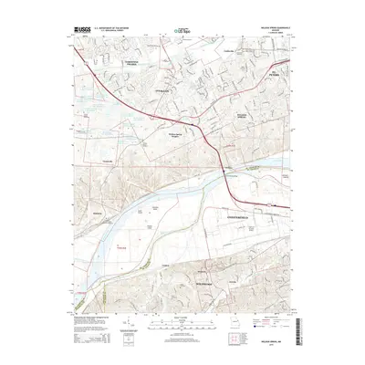
2015 Map of Weldon Spring
USGS Topo · Published 2015About this map
Howell Island and Lauer Island dominate the Missouri River corridor as it winds through this portion of Saint Charles and Saint Louis Counties. The landscape transition from the river bottomlands to the suburban growth of O'Fallon and St. Peters is clearly marked by the dense concentration of the August A Busch lake series to the west. This area serves as a significant recreational and conservation buffer between the expanding residential footprints of Weldon Spring and the commercial infrastructure of Chesterfield.
Find a feature on this map
66 named features on this map. Tap any name to fly to it.
Don’t see what you’re looking for? This feature index may not catch every label — zoom into the map to look around manually.
Map Details
Editions of this 2015 Weldon Spring Map
This is the sole edition of this map. No revisions or reprints were ever made.
Other maps of this area

1903 · O'Fallon
USGS Topo · 1:125,000

1931 · Manchester SE
USGS Topo · 1:24,000

1931 · Brussels
USGS Topo · 1:62,500

1932 · Manchester NE
USGS Topo · 1:24,000

1937 · Weldon Spring
USGS Topo · 1:24,000

1939 · Brussels
USGS Topo · 1:62,500

1940 · Eureka
USGS Topo · 1:24,000

1940 · Weldon Spring
USGS Topo · 1:24,000

1941 · Troy
USGS Topo · 1:62,500

1943 · Brussels
USGS Topo · 1:62,500