2021 Map of Weldon Spring
USGS Topo · Published 2021About this map
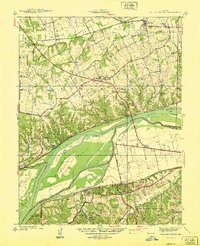
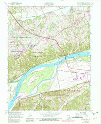
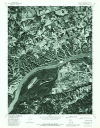
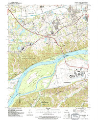
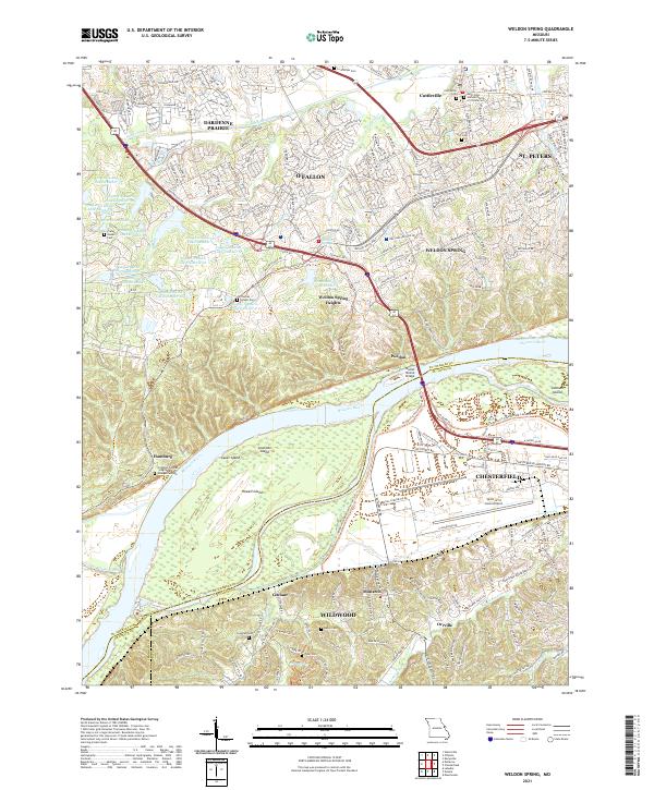
The Missouri River cuts a wide path across this landscape, separating the suburban expansion of Weldon Spring and O'Fallon from the developed lowlands of Chesterfield. This modern survey illustrates a region where contemporary infrastructure, such as the Spirit of St Louis Airport and the Daniel Boone Bridge, exists alongside deep-rooted family history. The northern bluffs are dotted with small burial grounds, including the Pitman Cem and Wolf Cem, while the river itself encompasses large alluvial features like Howell Island and Lauer Island. To the south, the terrain transitions into the more varied topography of Wildwood, where Bonhomme Cr and W Br Caulks Cr drain the hills. Notable for genealogists are several rural church sites and cemeteries, such as the Friedens German English Evangelical Cem, which point to the German-American heritage that shaped many of these early river settlements like Hamburg.
Find a feature on this map
207 named features on this map. Tap any name to fly to it.
Don’t see what you’re looking for? This feature index may not catch every label — zoom into the map to look around manually.
Map Details
Editions of this 2021 Weldon Spring Map
This is the sole edition of this map. No revisions or reprints were ever made.
Historical Maps of Toonerville Through Time
6 maps found