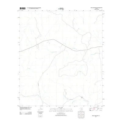
2013 Map of Well Hollow
USGS Topo · Published 2013About this map
The S Fork Guadalupe River and N Prong Medina River dominate this Texas Hill Country terrain, marking a significant hydrologic divide where waters flow toward different drainage basins. The landscape is defined by the winding course of the E Frio River to the west and the eponymous Well Hollow in the south-central portion of the map. Roadways such as Ranch Road 187 and Station C Rd provide access through the valleys, following the natural contours of the land. This 2013 U.S. Geological Survey representation documents the modern rural structure of Kerr County, capturing the paths of seasonal watercourses like Flat Rock Cr and the network of local ranch roads that sustain the area's pastoral identity.
Find a feature on this map
8 named features on this map. Tap any name to fly to it.
Don’t see what you’re looking for? This feature index may not catch every label — zoom into the map to look around manually.
Map Details
Editions of this 2013 Well Hollow Map
This is the sole edition of this map. No revisions or reprints were ever made.
Other maps of this area

1894 · Kerrville
USGS Topo · 1:125,000

1954 · Llano
USGS Topo · 1:250,000

1954 · San Antonio
USGS Topo · 1:250,000

1955 · Llano
USGS Topo · 1:250,000

1956 · Tuff
USGS Topo · 1:62,500

1956 · Llano
USGS Topo · 1:250,000

1957 · San Antonio
USGS Topo · 1:250,000

1963 · Garven Store
USGS Topo · 1:24,000

1964 · Hillcrest Ranch
USGS Topo · 1:24,000

1964 · Circle Bluff
USGS Topo · 1:24,000